Lake Chuzenji North Shore Hike — Shobugahama to Senjugahama
The north shore of Lake Chuzenji is the wildest stretch of the lake, reachable only on foot. This 4 km trail runs west from Shobugahama to Senjugahama, past Aka-iwa and the remote coves of Tochikubo and Kumakubo (Bear Cove). Expect boulder traverses, creek crossings, deer, and water clear enough to swim in.
Trail at a Glance — Shobugahama to Senjugahama
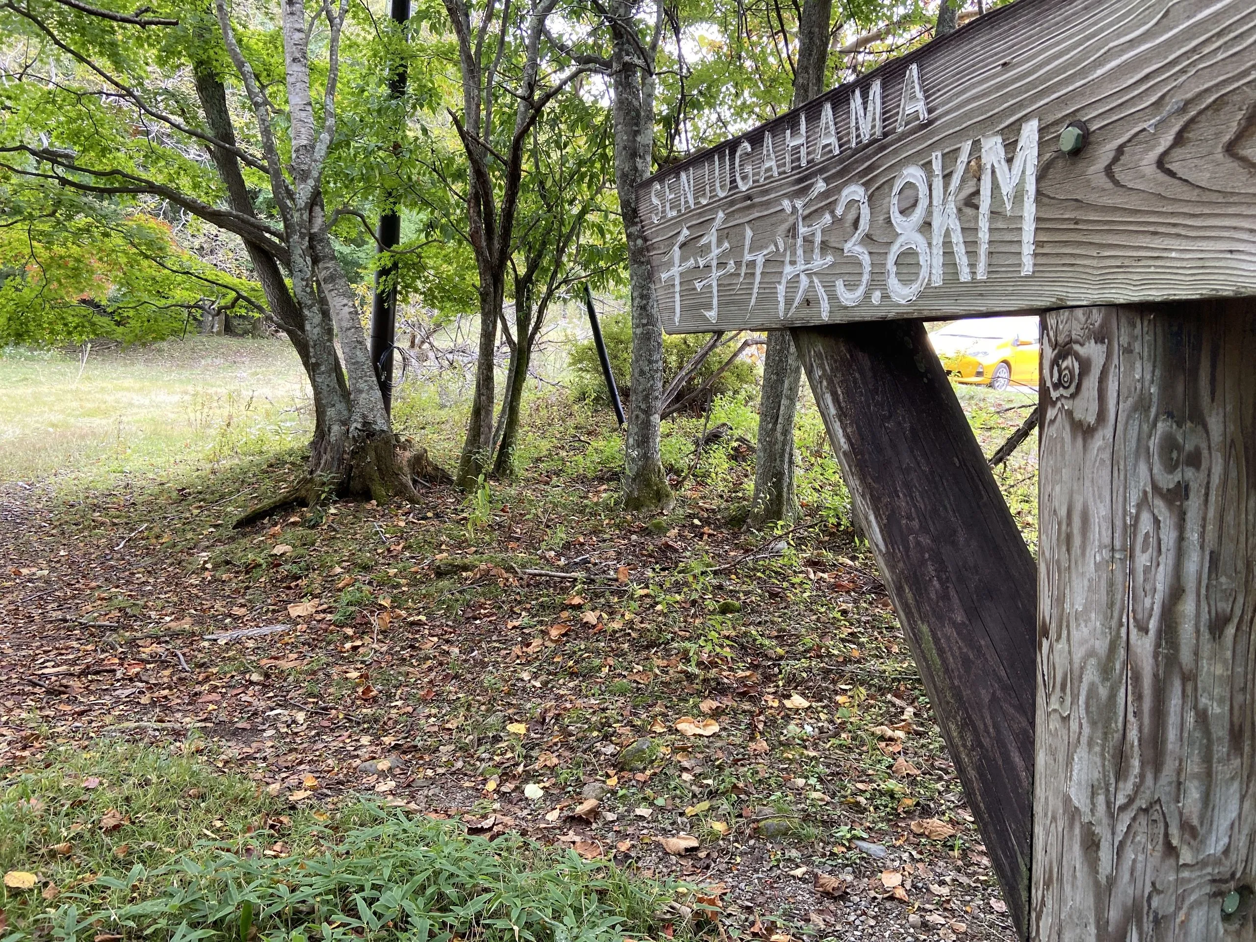
| Distance | 3.98 km one way (the trail sign reads 3.8 km) |
| Duration | 4 hours one way |
| Difficulty | Moderate — Grade II–III (boulder traverses) |
| Elevation | 1,270–1,300 m (70 m total ascent) |
| Start Point | Shobugahama, north shore of Lake Chuzenji |
| End Point | Senjugahama |
| Highlight | Tochikubo & Kumakubo (Bear Cove) — remote lakeside coves |
| Trail Type | Point-to-point (north shore lakeside) |
| Best Season | Spring to late autumn |
| Bus Access | Tobu Bus to Chuzenji Onsen, then local bus to Shobugahama |
| National Park | Yes — Nikko National Park |
| Camping | Shobugahama Campsite (basic lakeside camping) |
Base at Earth Hostel Nikko Riverhouse — a riverside hostel on the Kurokawa (Black River), in the mountains of southern Nikko. The free shuttle runs multiple times daily to Tobu Nikko Station or (JR) Nikko Station. Combine this trail with a swim in the river back at the hostel for a full day outdoors.
About the Lake Chuzenji North Shore Trail
Lake Chuzenji is a volcanic crater lake at 1,270 m above sea level, formed when a lava flow from Nantai dammed the Daiya River approximately 20,000 years ago. The eastern end, around Chuzenji Onsen and Kegon Falls, is reached by road and heavily visited. The far north shore is not. No road runs along it, and the only way to explore it is on foot. It is one of the lake-shore routes in our Nikko hiking guide.
This page covers the most accessible and most commonly hiked section of the north shore, running from Shobugahama west to Senjugahama. The trail hugs the lakeshore, passing through dense cedar and beech forest, crossing several creeks (some without bridges), traversing large boulder sections, and reaching the remote coves of Tochikubo and Kumakubo — personal favourites of the hostel team, loved for their complete quiet and the view of Nantai across the water.
What makes this section Grade II–III in difficulty — despite being under 4 km and gaining only 70 m — are the boulder traverses. In several sections the trail crosses large rock formations where your feet need to find holds between boulders, and creek crossings occasionally require stepping stones rather than bridges. Boots can get wet. But there is nothing technical, and any fit and sure-footed hiker will find it manageable.
Getting to the Shobugahama Trailhead
By bus from Nikko:
1. Take the Tobu Bus from Tobu Nikko Station or (JR) Nikko Station to Chuzenji Onsen (approximately 50 minutes). Buy the All Nikko Pass before you go.
2. From Chuzenji Onsen, take the local lakeshore bus to Shobugahama (the Shobu Yuransen Hacchakujo stop serves the trailhead area). Check current timetables at the Chuzenji Onsen bus terminal — service can be limited depending on season.
From Earth Hostel: The free shuttle runs multiple times daily to Tobu Nikko Station or (JR) Nikko Station. From there, take the bus to Chuzenji Onsen and connect to the Shobugahama bus. Total journey from the hostel: approximately 60–75 minutes. There is no curfew at the hostel, so an early start is easy.
Camping at Shobugahama: There is basic camping at the Shobugahama Campsite near the pier — lakeside flat ground with minimal facilities. Camping at Shobugahama on day one and hiking the coves on day two makes an excellent overnight. Check conditions with the Nikko National Park office or at the hostel before arriving.
The Trail: Shobugahama to Senjugahama
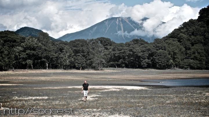
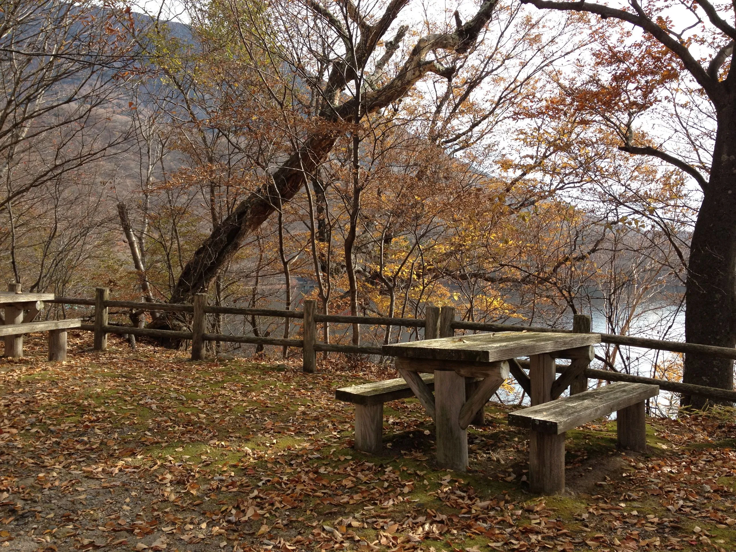
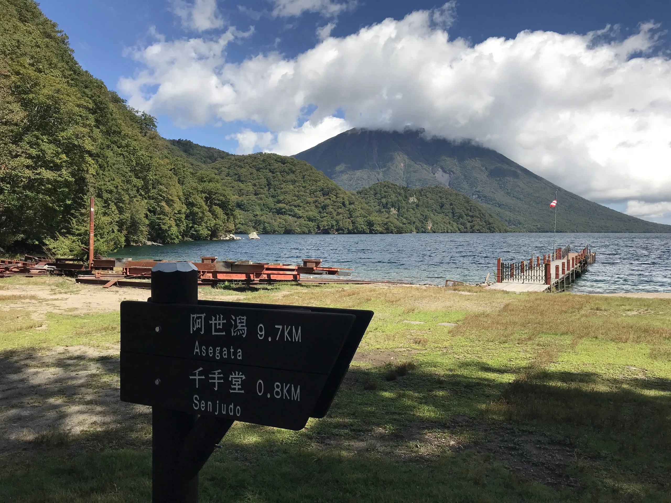
Shobugahama (start): The bus stop sits at a small lakeside clearing with picnic tables and a pier. From here you look out across Lake Chuzenji, with Nantai rising above the water. The trail begins following the shoreline westward, initially on easy flat ground before climbing away from the beach into the forest.
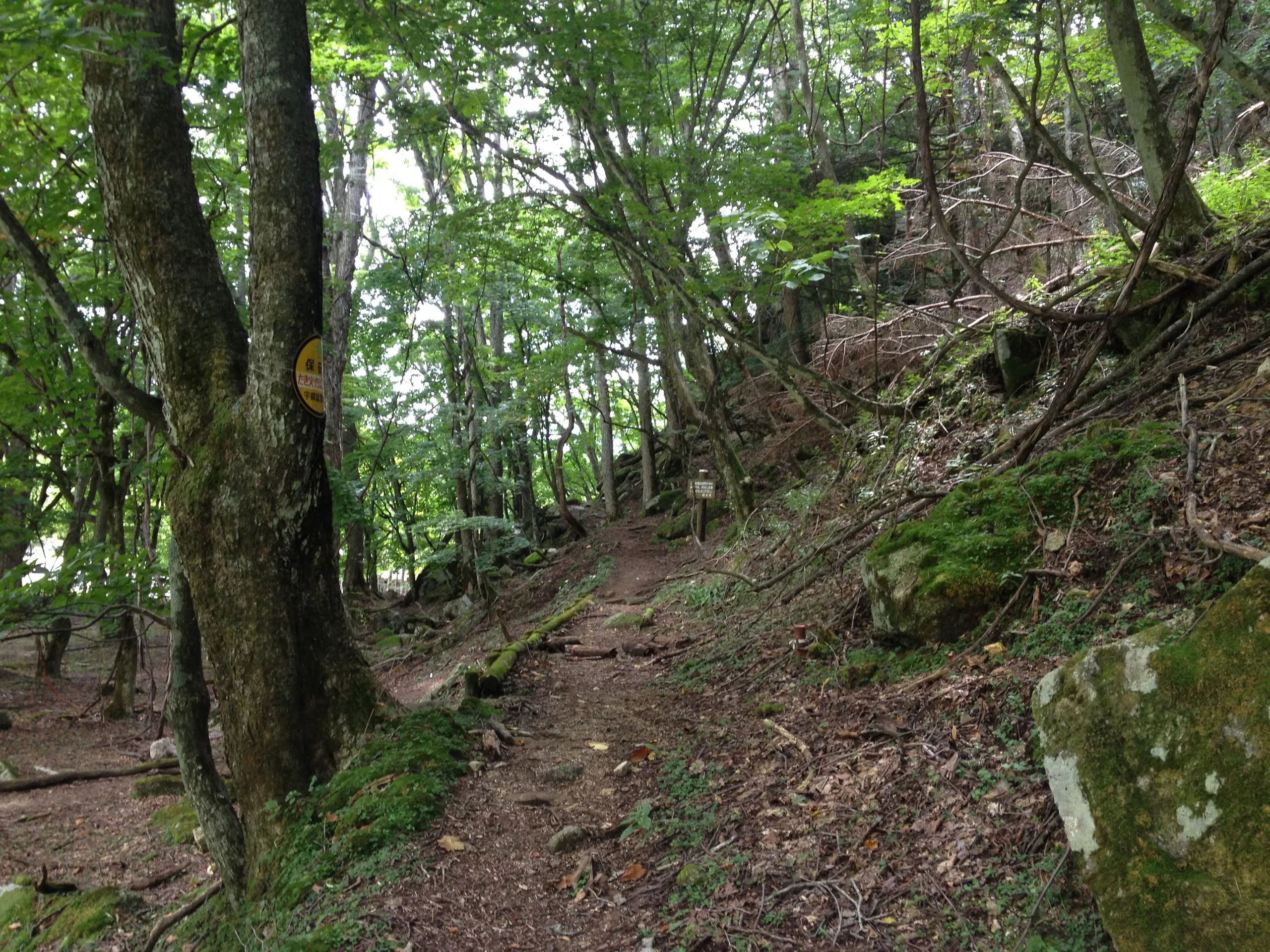
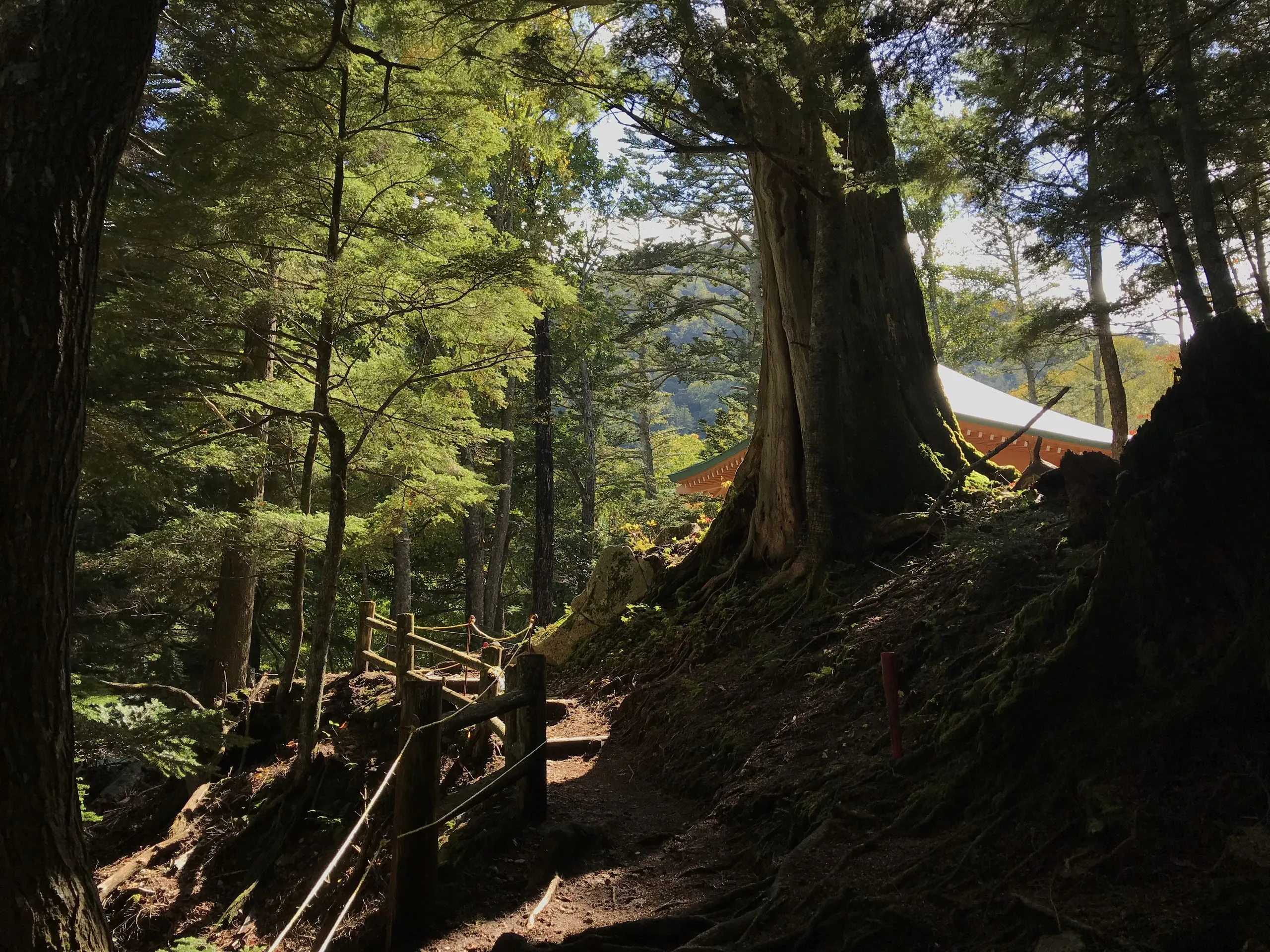
Lakeside forest section: The trail enters dense forest close to the water. This shaded shore stays humid and is rich with mushrooms through summer and autumn — an extraordinary variety of fungi grows along the trail floor. The sound of the lake is constant. Deer are commonly seen here, particularly at dawn and dusk.
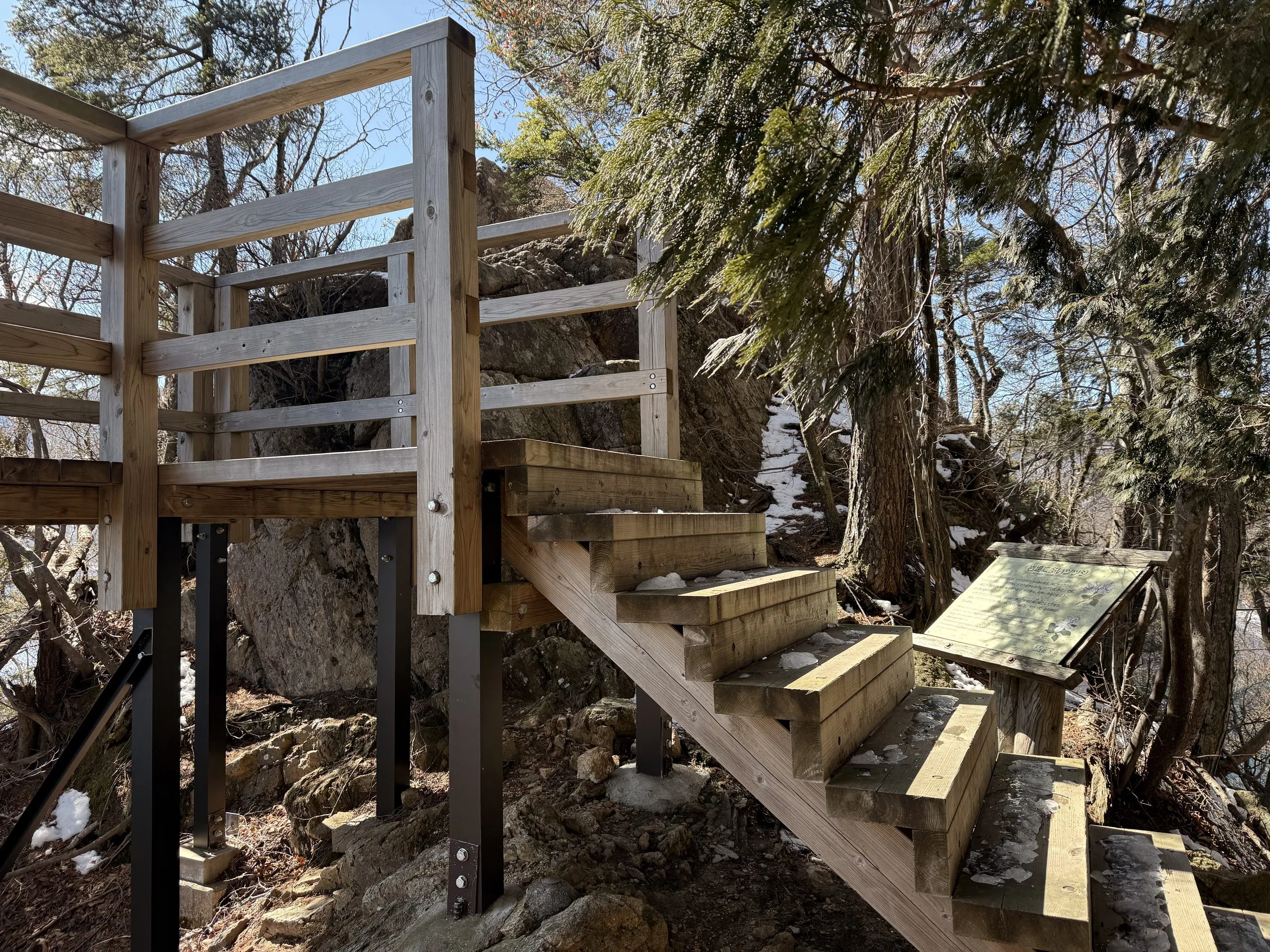
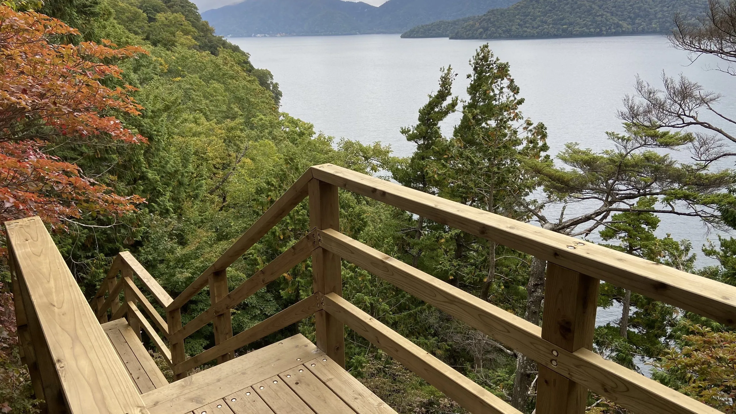
Aka-iwa (赤岩, Red Rock): After a stretch of steady ups and downs, the trail reaches Aka-iwa — a huge boulder at the lake’s edge, thrusting out toward the water. Timber steps and a small viewing platform have been built into the rock, so there is now a proper place to stop and look straight down the length of the lake. In spring the surrounding slopes bloom with two native rhododendrons: Shiro-Yashio (Rhododendron quinquefolium) and Aka-Yashio (Rhododendron pentaphyllum var. nikoense).
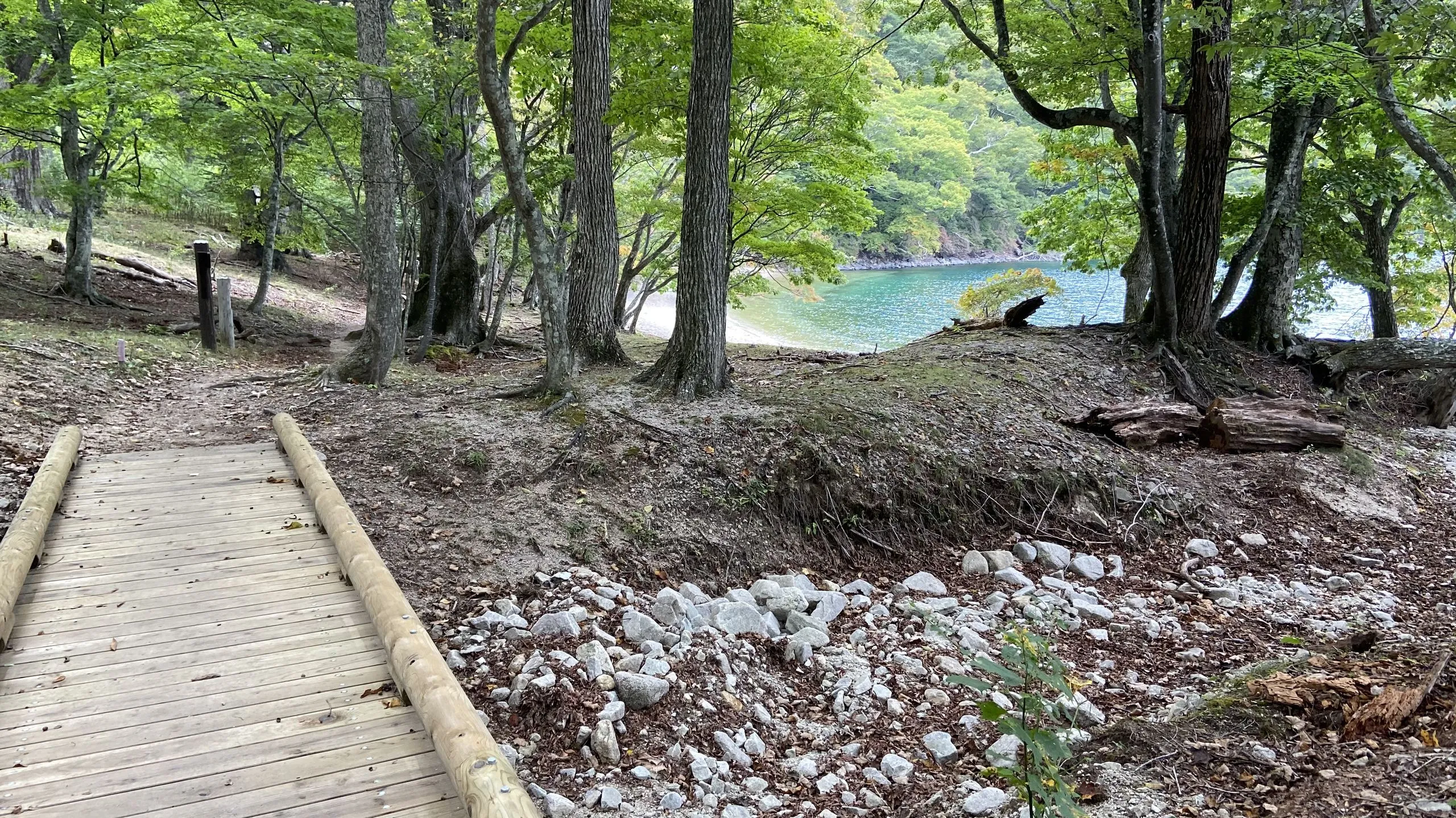
Creek crossings and boulder traverses: Several creeks descend from the slopes and cross the trail into the lake; some have plank bridges or stepping stones, others require improvised crossings. The trail also traverses large volcanic boulders where it passes close to the water. The boulders are stable but require careful foot placement — this is what elevates the route to Grade II–III. Take it slowly, test each hold, and use trekking poles if you have them.
Tochikubo (栃窪) — the centrepiece cove: Tochikubo is a rocky cove backed by cliffs, open to a wide view of Lake Chuzenji with Nantai rising directly across the water. It is consistently one of the least-visited and most beautiful spots on the lake. The water here is deep, cold, and extraordinarily clear — a very remote place to swim. Rest here before continuing.
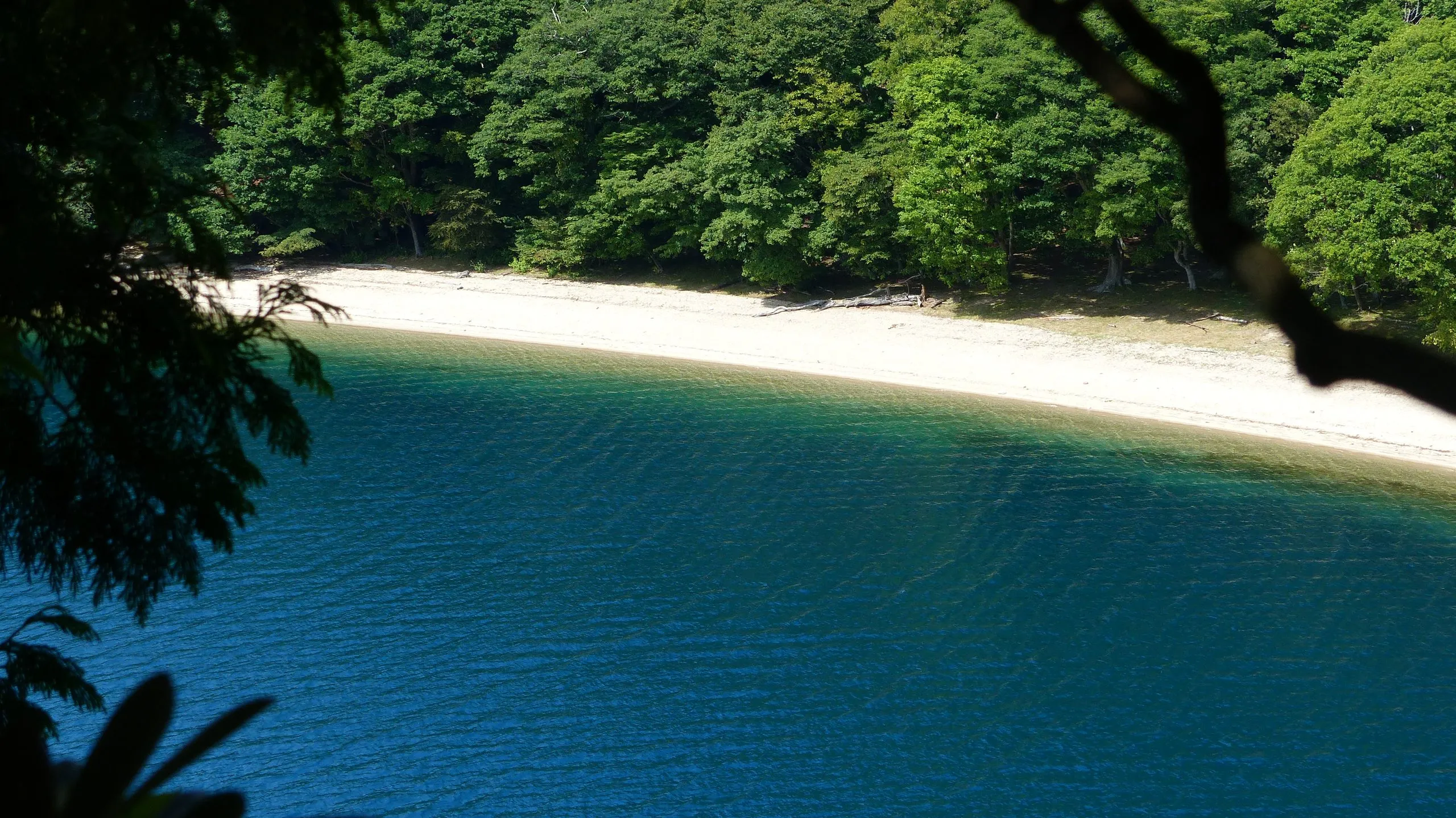
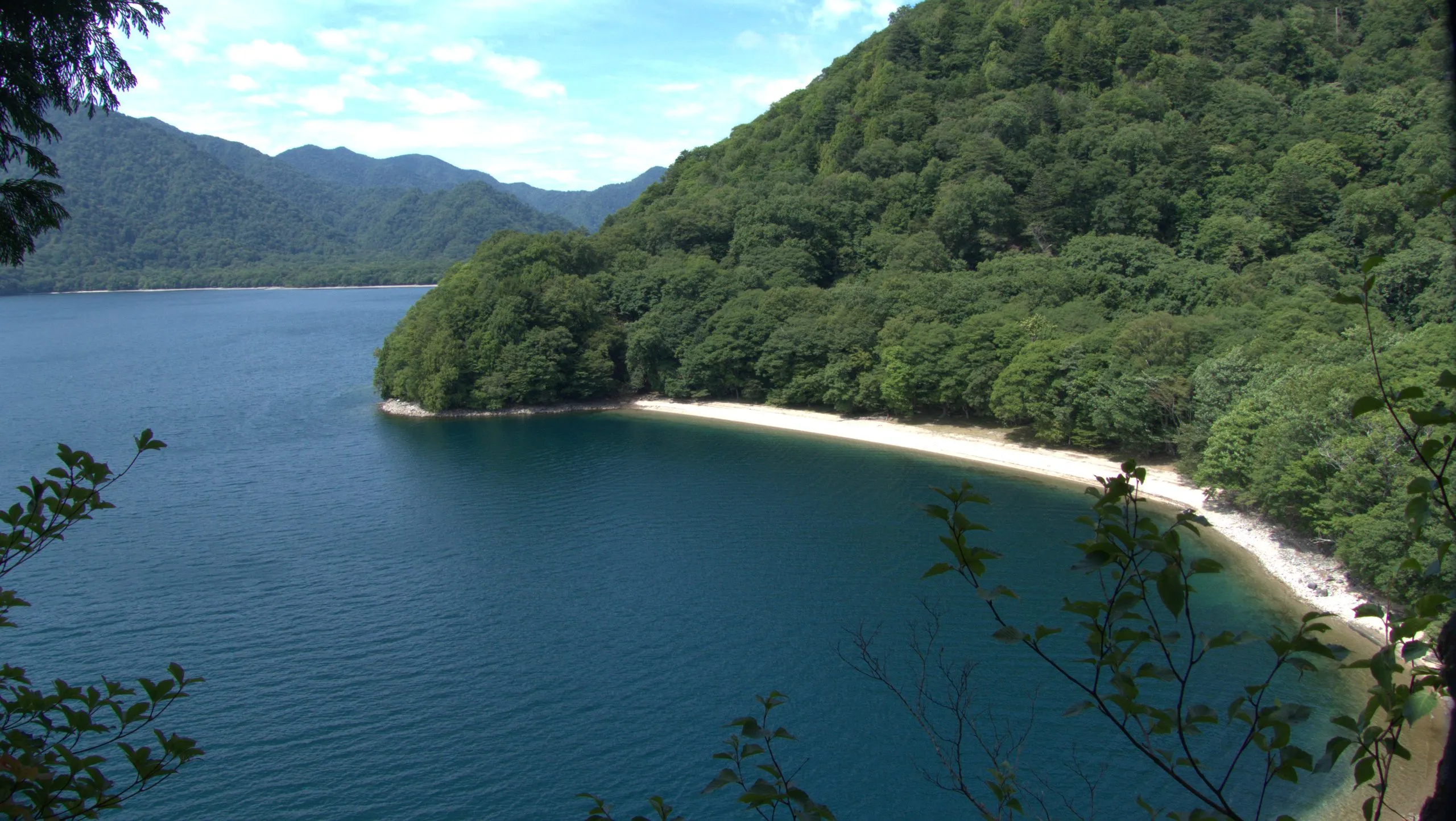
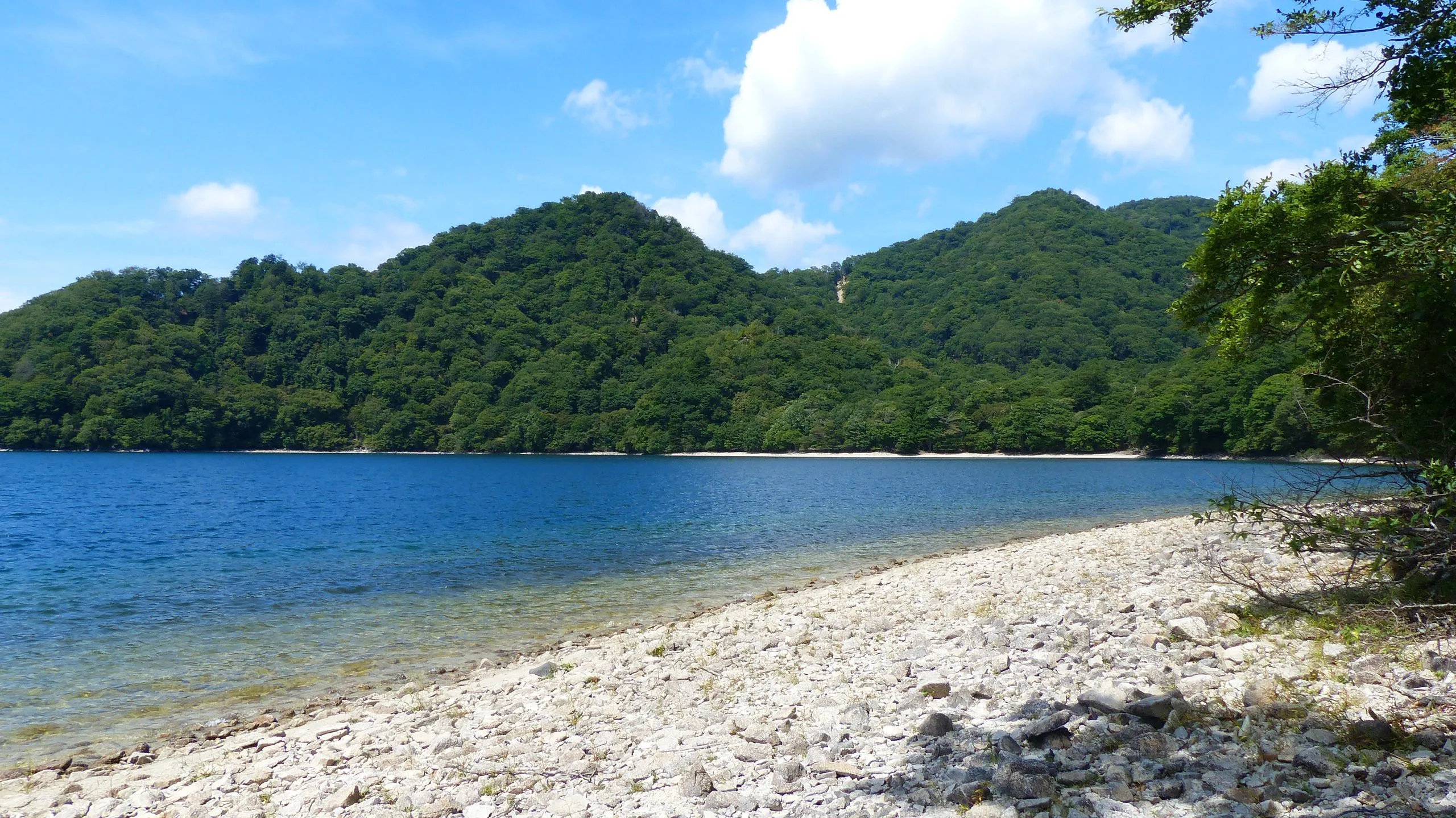
Kumakubo (熊窪, Bear Cove): A short way further west lies Kumakubo, Bear Cove — a second quiet cove on the same shore. Like Tochikubo it offers clear water and views of Nantai, with even fewer visitors. Between the two coves the trail passes Kanmuri-ishi.
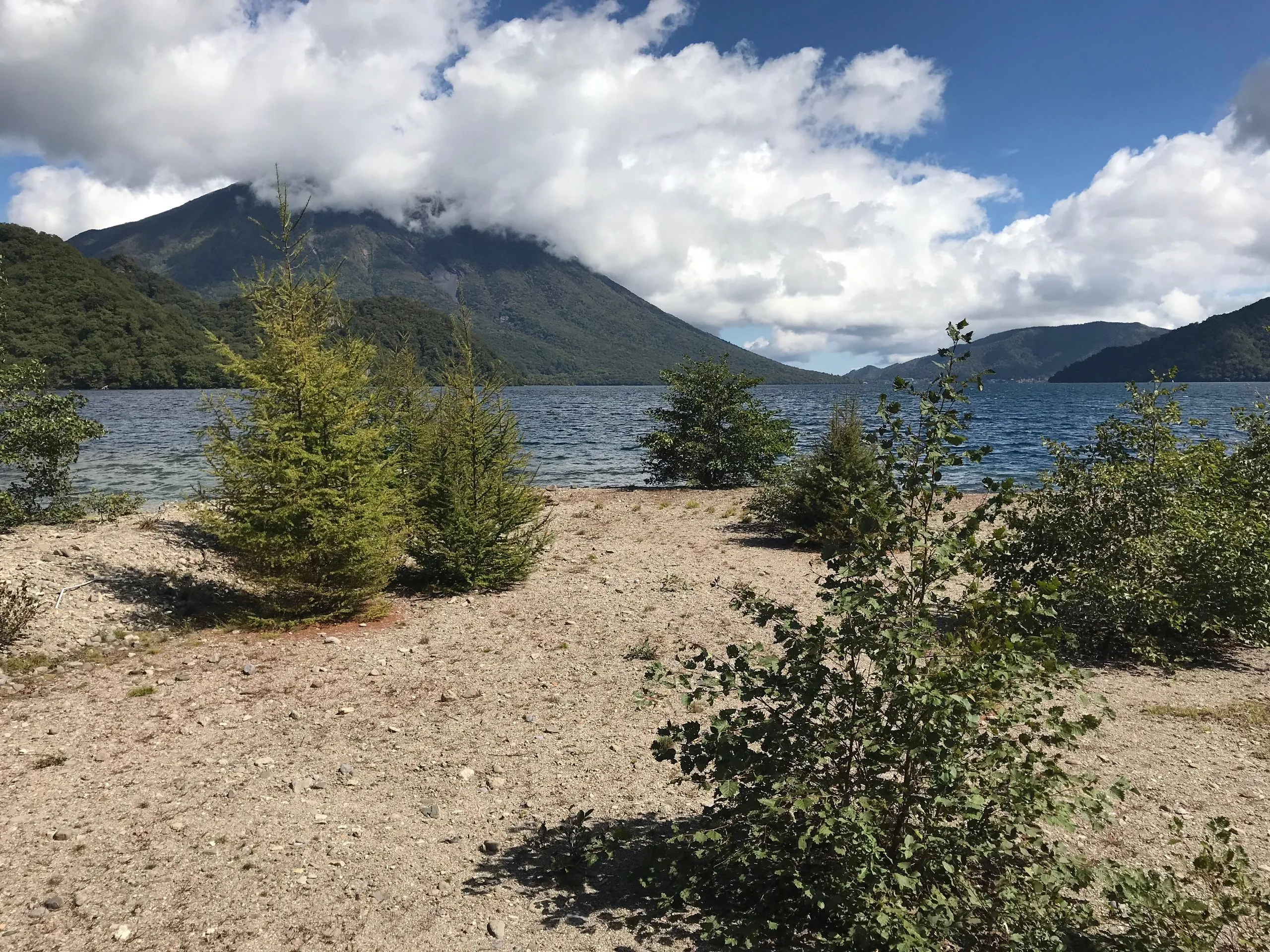
Senjugahama (千手ヶ浜): The trail continues west to Senjugahama, a long beach on the lake’s western shore and the end of this section. From here you can extend toward Sainoko or south to Senjudo, or turn around and return to Shobugahama for the bus back to Chuzenji Onsen.
Extend the Route
+ Senjudo (千手堂, Senju Hall): At Senjugahama the signpost by the pier points south along the shore — Senjudo 0.8 km, Asegata 9.7 km. Senjudo is where the Lake Chuzenji south shore trail begins, so the two halves of the lake join here: walk in along the north shore, and you are standing at the head of the southern route.
+ Sainoko (西ノ湖, Lake Sai, West Lake): From Senjugahama, continue west along the shoreline to remote Lake Sai. Add approximately 1 hour and 3 km. Sainoko is one of the most overlooked destinations in Nikko — a hidden lake west of Chuzenji with very few visitors.
+ Senjogahara: From Sainoko or Senjugahama, the trail continues northeast and can connect via longer routes to Senjogahara. This becomes a multi-day expedition and requires planning.
+ Continue the circuit: The full Lake Chuzenji circumnavigation continues beyond Senjugahama along the south shore, eventually completing the full lakeside loop.
Best Season & Trail Conditions
| Season | Conditions | Notes |
|---|---|---|
| Spring | Fresh green, quiet, good light; rhododendrons near Aka-iwa | Creek levels can be high from snowmelt. Check the bus to Shobugahama is running. |
| Summer | Lush and humid; mushrooms abundant; good for swimming at Tochikubo | Excellent season. This shaded shore is noticeably cooler than the valley. |
| Autumn | Peak koyo colour, brilliant light, deer active | Best season for photographs. Check the last bus times before you set out. |
| Winter | Trail passable, but the bus to Shobugahama may not run | Confirm bus access before attempting. The trail can be icy near creek crossings. |
What to Bring
- Waterproof hiking boots (creek crossings can get feet wet)
- Trekking poles (helpful for the boulder traverses and creek crossings)
- Water: 1.5–2 litres per person (no reliable water sources on the trail)
- Packed lunch — plan to eat at Tochikubo or Kumakubo
- Rain jacket
- Insect repellent in summer (humid lakeside forest)
- All Nikko Pass or bus fare
- Download offline maps — signal is patchy along this shore
Frequently Asked Questions
How difficult is the Lake Chuzenji north shore trail?
This section is rated Grade II–III, making it moderate to moderately challenging. The difficulty comes from boulder traverses and creek crossings without bridges, not from elevation gain — the whole route climbs only about 70 m. Fit hikers in waterproof boots will manage it well. Not suitable for very young children or anyone with balance or mobility issues.
How long is the Lake Chuzenji north shore trail?
3.98 km one way from Shobugahama to Senjugahama, or about 4 hours at a walking pace that allows for the boulder sections and stops at the coves. The trail sign at Shobugahama reads 3.8 km.
How do I get to the Shobugahama bus stop?
From the Chuzenji Onsen bus terminal, take the local lakeshore bus to Shobugahama or Shobu Yuransen Hacchakujo on the north shore. Service can be limited — check the current Tobu Bus timetable before departing from Nikko. Buy the All Nikko Pass for the best value.
Can I camp at Shobugahama?
Basic lakeside camping is available at the Shobugahama Campsite near the pier. There are minimal facilities. Confirm conditions with the Nikko National Park office or at Earth Hostel before arriving. Camping at Shobugahama and hiking to the coves the following morning is one of the most memorable overnights in Nikko National Park.
Is swimming possible at the coves?
Yes — Tochikubo and Kumakubo (Bear Cove) are among the most beautiful and remote swimming spots in the Nikko area. The water is cold, deep and crystal clear. Summer is the best time. There are no facilities.
Can I do this trail as a day trip from Tokyo?
Yes, but the timing is tight. Take the first Tobu Nikko Limited Express from Asakusa and connect to the Chuzenji bus and onward to Shobugahama. You will have roughly 4–5 hours on the trail before heading back for the last bus. Staying at Earth Hostel and starting early the following morning is a far more relaxed approach.
Hike the Lake Chuzenji North Shore from Earth Hostel
Earth Hostel Nikko Riverhouse is the natural base for this hike. The free shuttle runs multiple times daily to Tobu Nikko Station or (JR) Nikko Station for the bus to Chuzenji, and there is no curfew (music off 10 PM), so early starts are easy. After a day on the boulders, the Kurokawa is seconds from the door. The coves of Tochikubo and Kumakubo are among our favourite places in the park — we have camped here and hiked this shore in every season. See rooms and rates or how to get here, and ask us for current trail conditions and bus timing before you go.
If you are planning the full Lake Chuzenji circumnavigation, or want to combine this trail with Sainoko, Senjogahara or the Takayama route, we can help sequence the days. See all hiking trails in Nikko ›