Takayama Hiking Guide — Nikko’s Forest Lake Loop
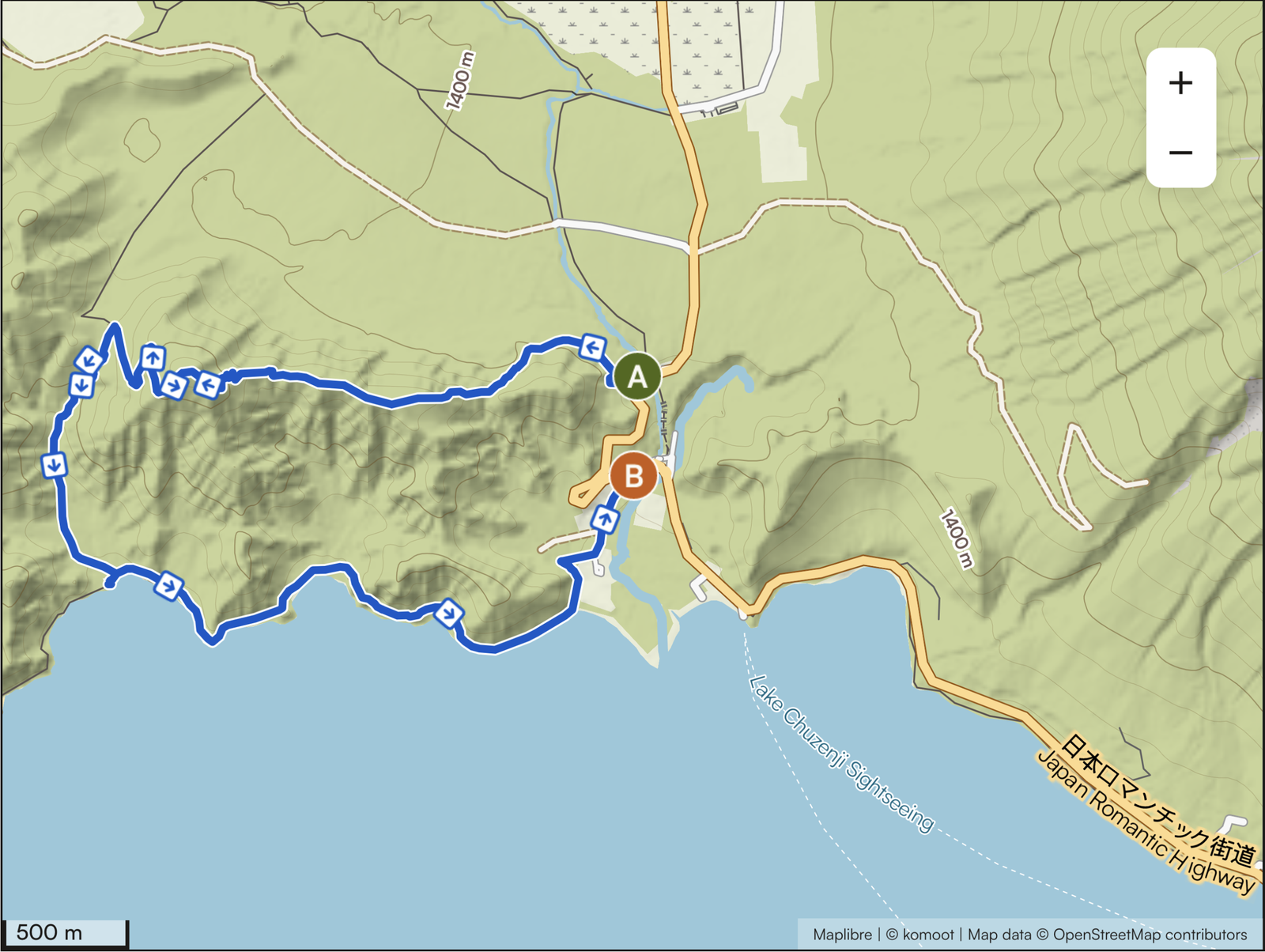
Takayama (Hawk Mountain, 1,668 m) is one of the finest circular hikes in the mountains of Nikko: a roughly 8 km loop from Ryuzu Waterfall through quiet forest to a wooded peak, then down to the remote north shore of Lake Chuzenji at Kumakubo (Bear Cove). Moderate, 4-5 hours, no shuttle logistics. Base yourself at Earth Hostel Nikko Riverhouse.
Trail at a Glance
| Distance | ~8 km loop (7.9 km) |
| Duration | 4-5 hours |
| Difficulty | Moderate — Grade II (half day) |
| Trailhead | Upper Ryuzu Falls parking area — Taki-ue bus stop |
| Peak Elevation | 1,668 m |
| Elevation Gain | ~330 m of climbing (a gentle loop; it ends slightly below where it starts) |
| Route | Ryuzu → Takayama peak → Kumakubo (junction with the north-shore trail) → cliff return → Ryuzu |
| Highlights | Cliff-top lake views, Kumakubo (Bear Cove), quiet north shore |
| Best Season | Spring to late autumn |
| Bus Access | Taki-ue bus stop (NOT Ryuzu-no-taki) — All Nikko Pass |
| National Park | Yes — Nikko National Park |
| Note | No view from the peak — look for viewpoints along the trail |
Stay at Earth Hostel Nikko Riverhouse — free shuttle to Tobu Nikko Station or (JR) Nikko Station, running multiple times daily. Combine this hike with a swim at Kumakubo for the perfect active day.
Why the Takayama Loop?
The Takayama loop works because of what you find at the end of the descent rather than at the peak. The mountain itself is forested and the summit has no view — but arrive at Lake Chuzenji after the climb and the landscape completely transforms. The north-shore coves are remote, quiet, and completely invisible from the road. Kumakubo (Bear Cove) is one of the most beautiful and private swimming spots on the lake. The cliff section on the return, where the trail rises above the lakeside and you look back across the bays and coves you’ve just walked through, is one of the best viewpoints in Nikko. The Takayama loop is one of more than two dozen routes in our Nikko hiking guide.
It is also the only loop trail in this area of Nikko — you start and end at the same point (Ryuzu Waterfall), so there is no complicated shuttle or bus logistics to manage on the return.
Getting to the Takayama Trailhead
Important: The correct bus stop is Taki-ue — not Ryuzu-no-taki. Both are near Ryuzu Waterfall, but Taki-ue is the upper stop near the parking area and bridge overlooking Lake Chuzenji, which is where the Takayama trail begins. Get off one stop too early and you’ll start at the wrong point.
By bus from Nikko: Take the World Heritage Bus or Tobu Bus toward Yumoto Onsen. Get off at Taki-ue bus stop. Journey from the station is approximately 45-55 minutes. Buy the All Nikko Pass before departing. The trailhead is near the parking area at the top of Ryuzu Falls, just next to the bridge overlooking Lake Chuzenji.
From Earth Hostel: The free shuttle runs to Tobu Nikko Station or (JR) Nikko Station multiple times daily; from there, take the bus toward Yumoto Onsen to Taki-ue. Total journey approximately 50-65 minutes. The same bus continues to Senjogahara if you want to combine trails over two days. See our access page for passes and directions.
The Loop: Full Route Description
Start high, at Ryuzu. By the time you reach Lake Chuzenji you’ll want to swim — so climb first and let the lake be the reward.
Ryuzu Waterfall to Takayama peak (~2 km, ~1.5 hours): The climb begins with a set of stairs above Ryuzu Waterfall, then settles into a long, gentle forest ascent.
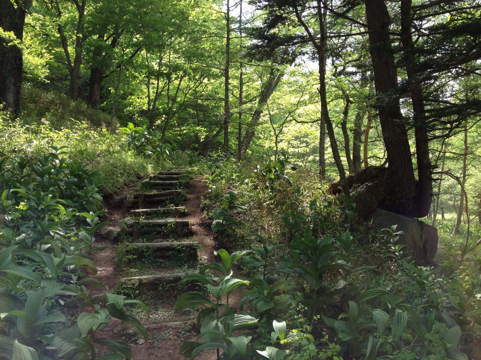
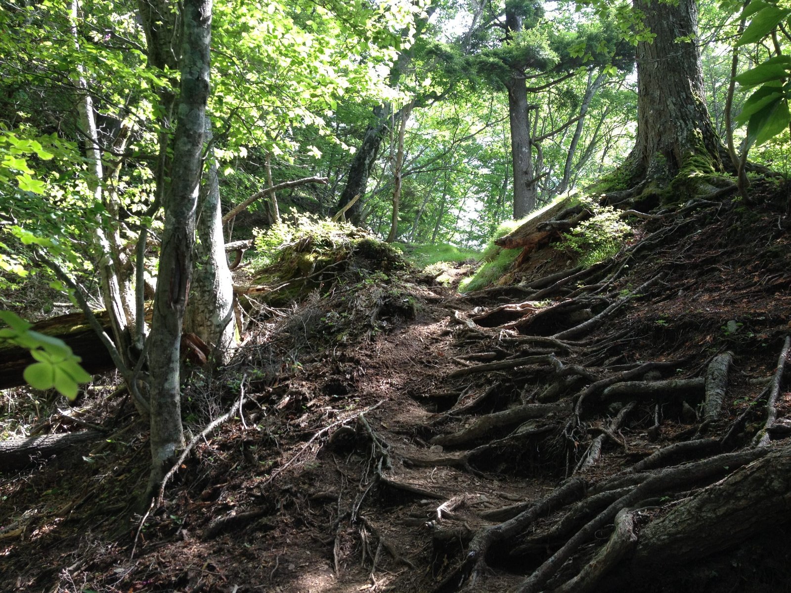
You walk on bare tree roots in many sections — steady, careful footwork. The slope stays fairly constant until about 20 minutes before the peak, when it steepens.
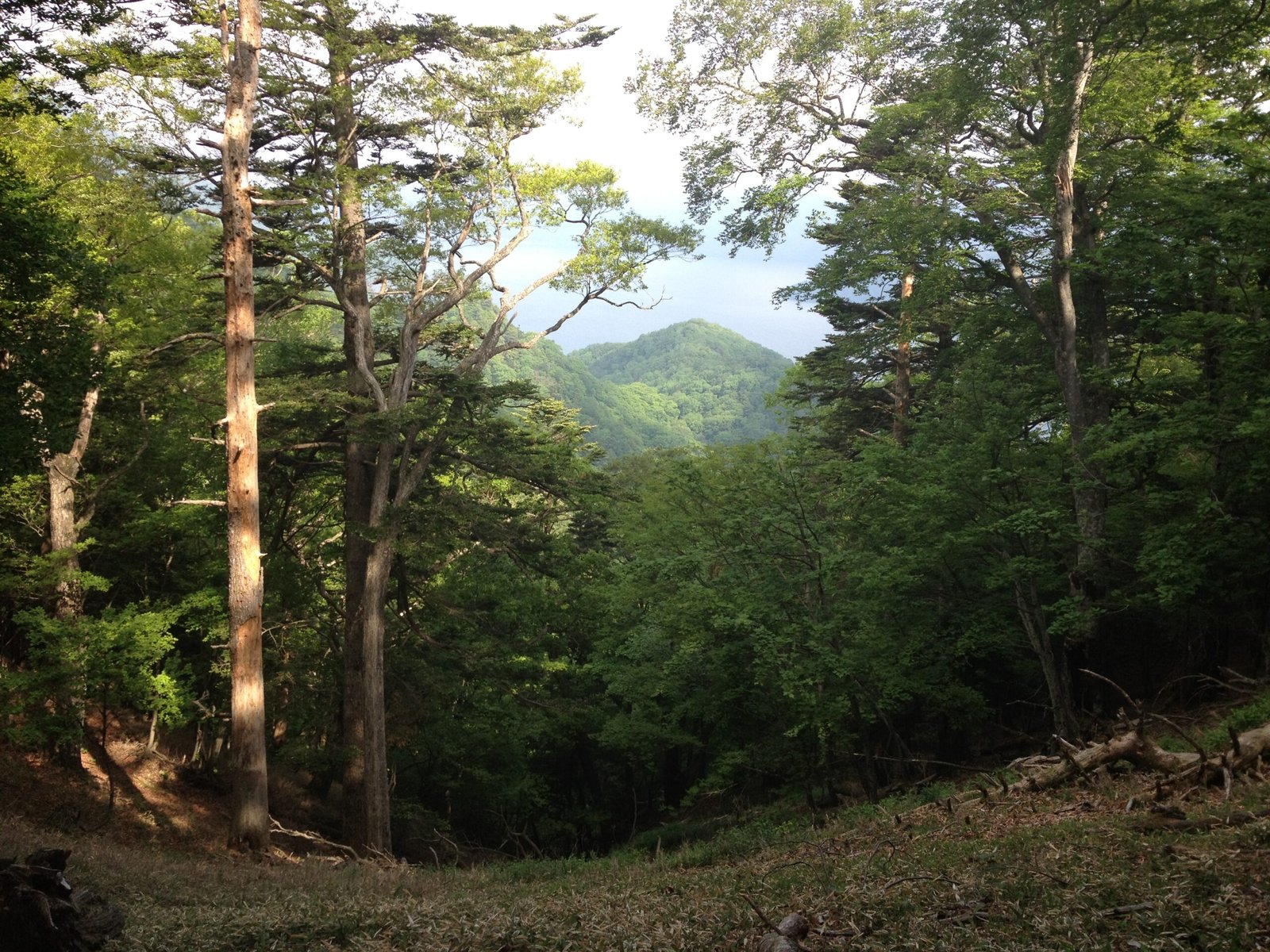
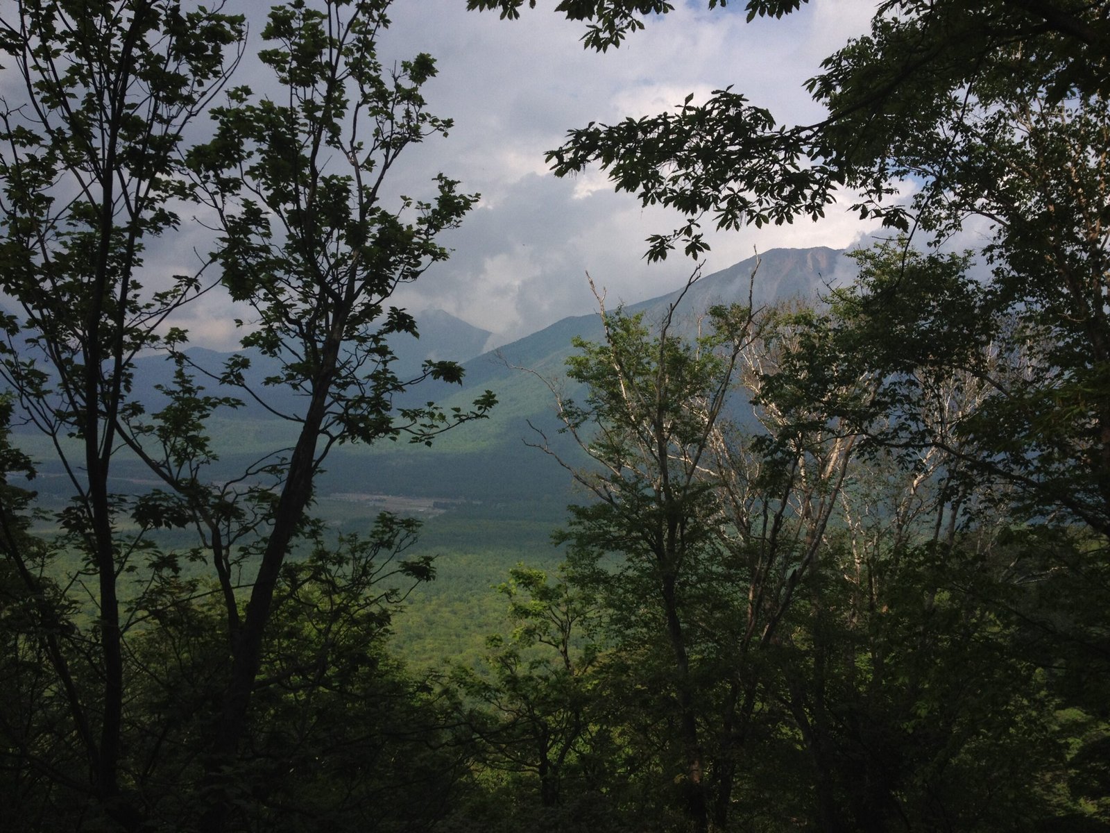
Most of the trail is wooded, with only a few windows opening onto the outer landscape. Look deliberately for these viewpoints off the main trail — views of Nantai Mountain appear at several points, and one section gives a glimpse of Otake Mountain to the west. These are the best views on this hike, so do not save them for the summit.
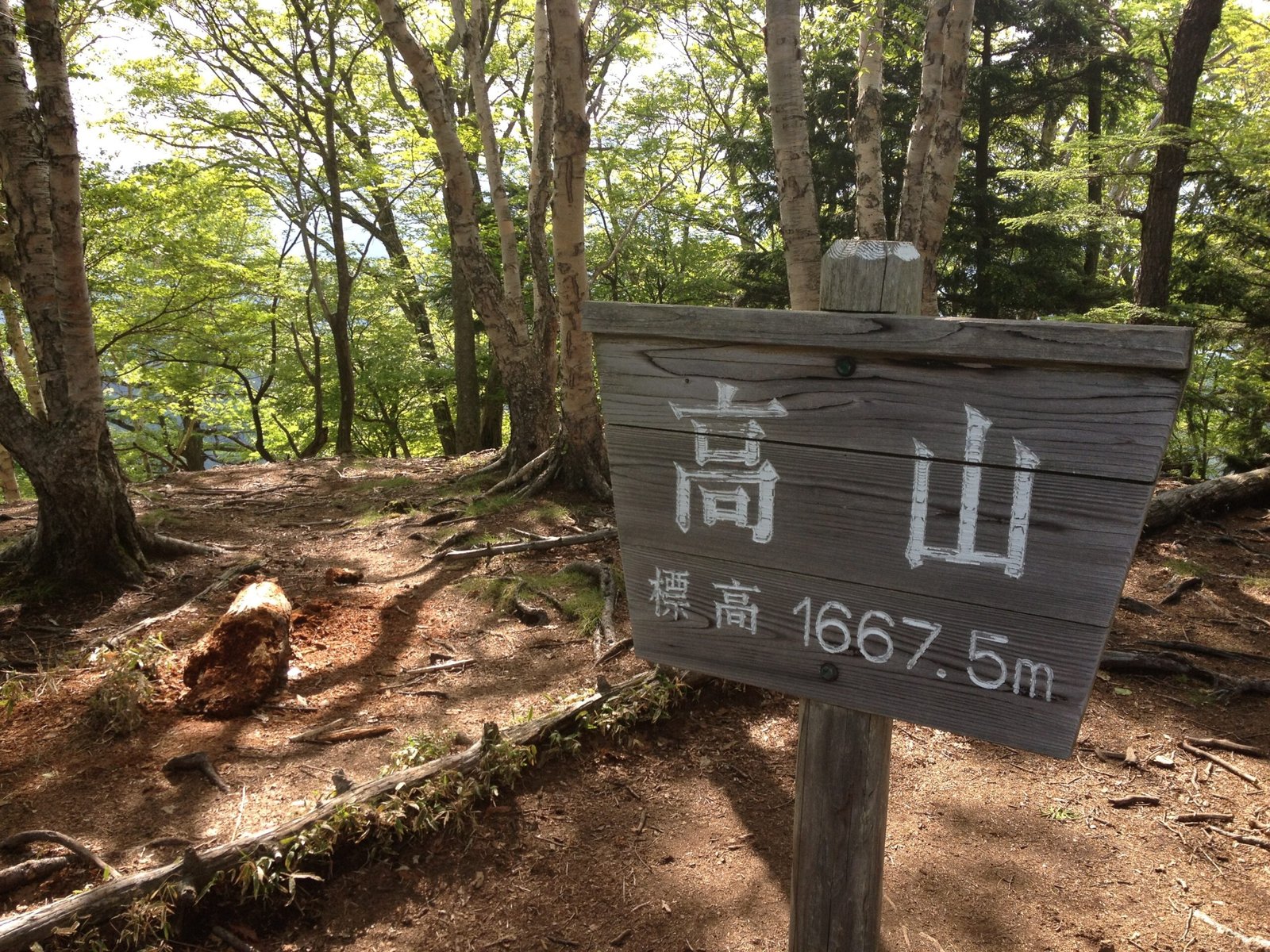
Takayama peak: The peak is peaceful, forested, and has no view of the surrounding landscape. Birds are plentiful and deer are frequently encountered here. Takayama means Hawk Mountain; watch the canopy.
Just below the peak the ridge opens with wildflowers and a last look back before the descent begins.
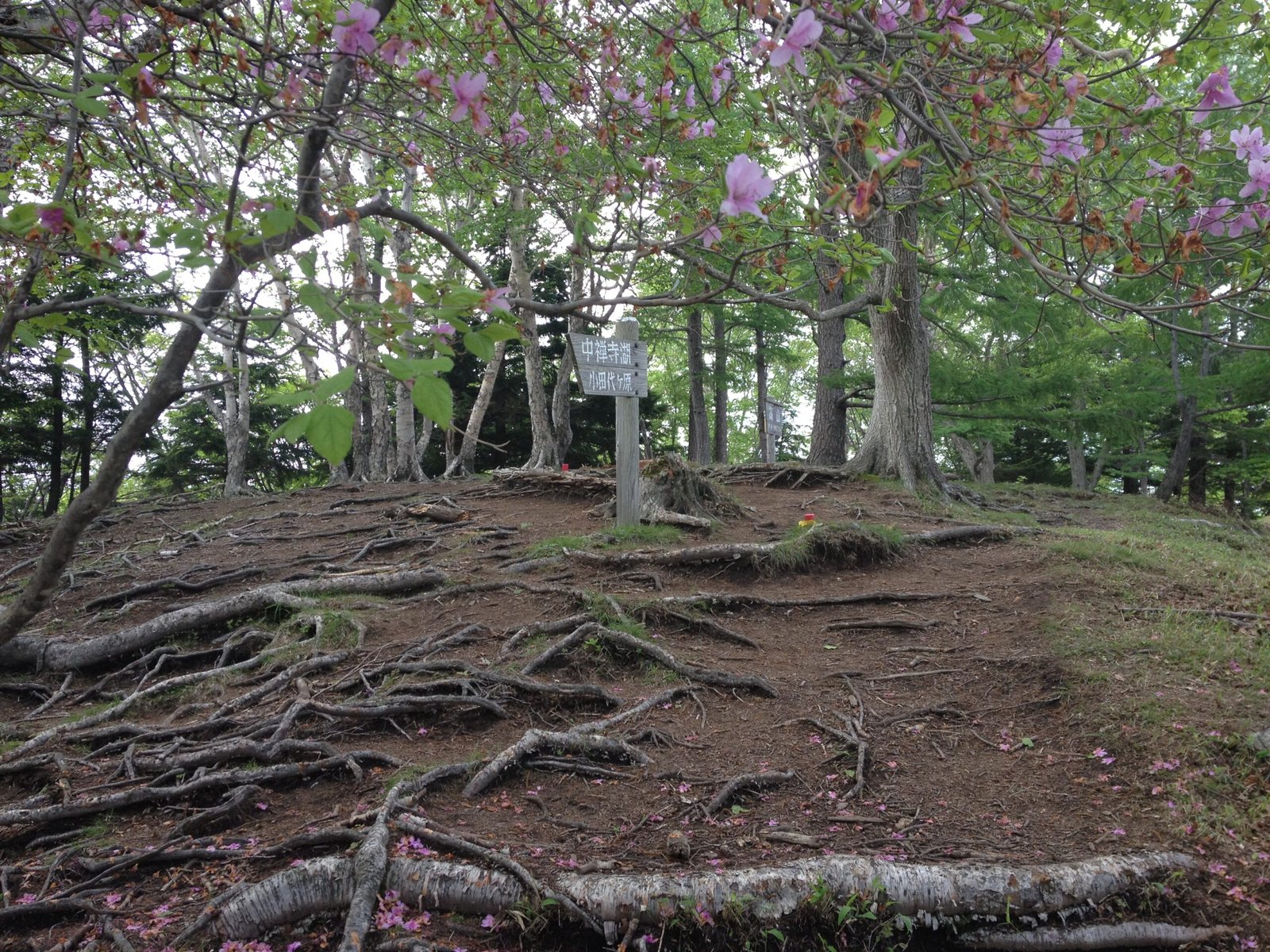
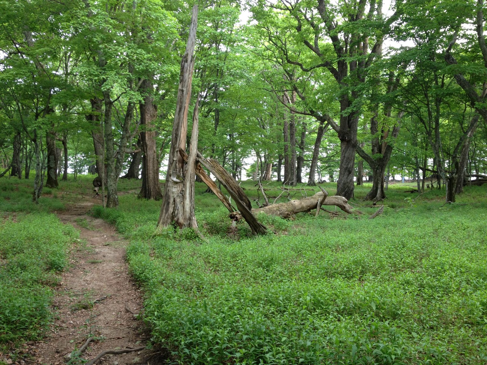
Descent to Lake Chuzenji (~3 km, ~1.5 hours): Heading down from the peak, the forest gradually becomes greener, denser, and more humid. Moss-covered trees signal you’re approaching the moist lowlands near the shore. The descent brings you to the north shore of Lake Chuzenji at Kumakubo (Bear Cove).
Kumakubo (Bear Cove): Kumakubo is one of the most beautiful and private swimming spots on Lake Chuzenji — remote, quiet, and invisible from any road. If it’s summer and the water looks good, this is the place to swim.
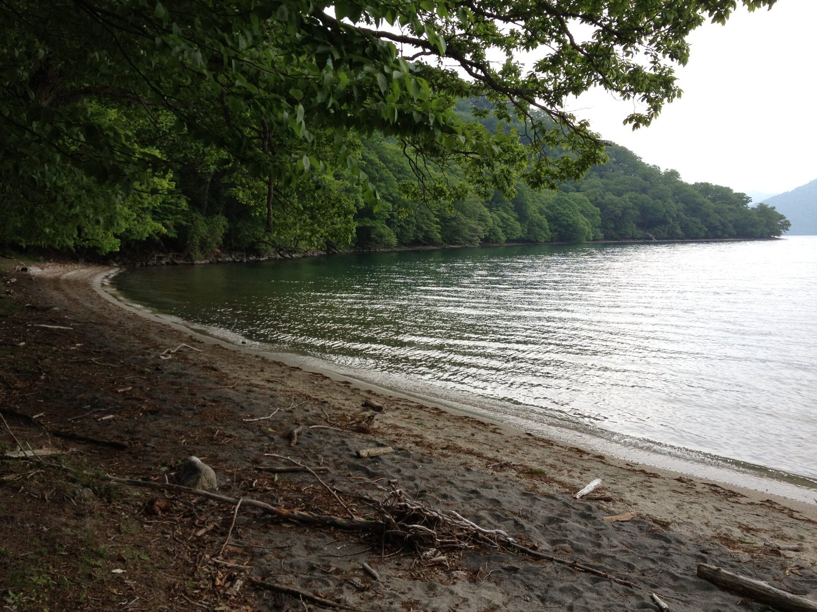
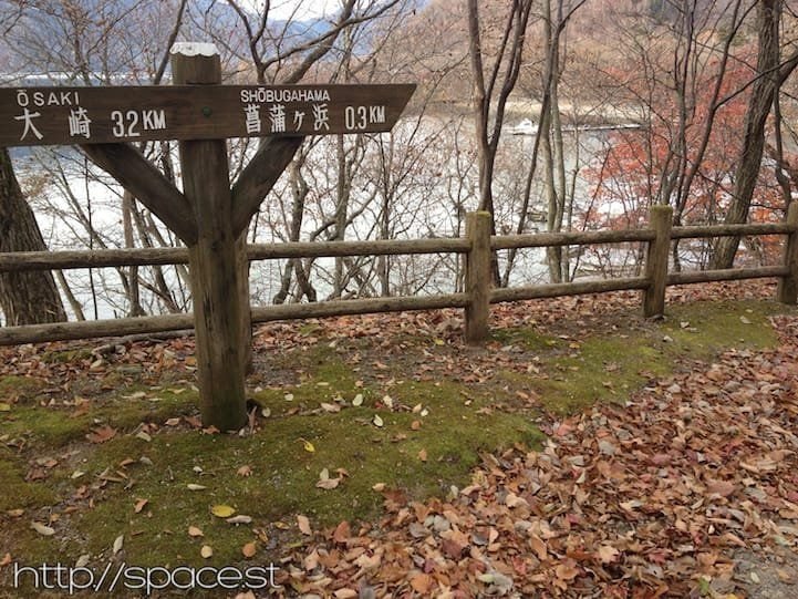
The junction at the cove: Kumakubo is where the Takayama loop meets the Lake Chuzenji north-shore trail, and you have a choice. Go east and the trail passes Tochikubo and Aka-iwa (Red Rock) toward Shobugahama, then climbs onto the cliff section that returns to Ryuzu Waterfall — the way this loop closes, with the finest lake views of the day looking back over the coves. Go west and the shore leads quietly toward Senjugahama and on to Lake Sai (Sainoko), Nikko’s most hidden lake. Rather than repeat that ground here, we cover both directions in detail in our Lake Chuzenji North Shore Hike and Lake Sai (Sainoko) guide — decide at the cove which way the day goes.
For the loop, turn east: the cliff trail rises above the shore and rejoins the road near Ryuzu Waterfall, closing the circuit where you began.
Best Season
| Season | Conditions | Notes |
|---|---|---|
| Spring | Fresh green; quiet; clear lake | Good season before summer crowds. Check the bus to Taki-ue is running. |
| Summer | Lush and green; best for swimming at Kumakubo and the cove shore | Ideal for the full loop with a swim on arrival at the lake. |
| Autumn | Koyo autumn colour; spectacular lake views | Best season visually. The cliff-top return is extraordinary with autumn foliage. |
| Winter | Bus service to Taki-ue may be reduced; trail can be icy | Confirm bus schedules before attempting in this period. |
Frequently Asked Questions
Hike the Takayama Loop from Earth Hostel
Earth Hostel is 50-65 minutes from Taki-ue bus stop. Our free shuttle runs to Tobu Nikko Station or (JR) Nikko Station multiple times daily, connecting you to the first buses toward Yumoto Onsen. We can advise on bus timing, current conditions on the lakeside trail, and how to combine Takayama with Senjogahara, Lake Sai, or the north-shore cove trail. See all hiking trails in Nikko ›
Always confirm bus schedules and the correct stop (Taki-ue) before departing. Swimming at Kumakubo is at your own risk — no facilities on site.