Nyoho Mountain Hiking Guide — Nikko’s Remote Peak
Nyoho Mountain is a 2,483-metre peak in the mountains of Nikko, the third-highest in the range and one of its quietest, wildest climbs. From the Kotokuiriguchi trailhead it is a strenuous full-day traverse over three peaks to a chain-assisted summit, hikeable spring to late autumn. Base yourself at Earth Hostel Nikko Riverhouse.
Nyohosan (女峰山, Mount Nyoho) sits northeast of Nantai Mountain, one of the quietest peaks in Nikko National Park. Reach it from the Kotokuiriguchi trailhead, following the same access road and Shizu Hut approach used by the Nantai northern route, then climbing the ridge to the summit. Nyoho is one of more than two dozen peaks and trails in our Nikko hiking guide.
At 2,483 metres, it is the third-highest peak in the Nikko range, after Shirane (2,578 m) and Nantai (2,486 m). What sets Nyoho apart is not just its remoteness but its atmosphere: a demanding ridge traverse that crosses three lesser summits before the final climb, opening onto a barren high-altitude ridgeline where sky and mountain dominate in every direction. There are always fewer hikers on Nyoho than on any nearby trail. The summit views, the eerie mist on descent, and the sheer quietness of the mountain make it one of the most memorable hikes in the region for those willing to reach it.
Trail at a Glance
| Distance | 11.7 km round trip (5.87 km each way, trailhead to summit), plus the access-road walk if not driving in |
| Duration | 7–8 hrs round trip on the mountain; add ~1.5 hrs each way for the access road from Kotokuiriguchi if walking in |
| Difficulty | Strenuous — Grade III (chain-assisted summit section, multiple peaks) |
| Trailhead | Kotokuiriguchi → access road → Shizu Hut area → ridge traverse to Nyoho |
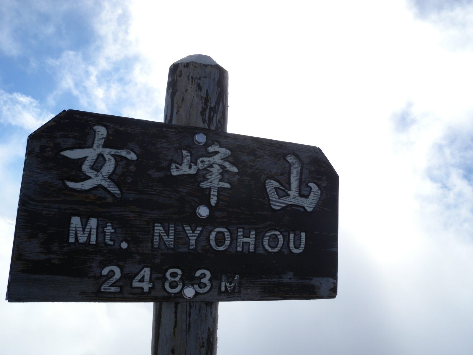
| Summit | 2,483 m (女峰山) |
| Elevation gain | 1,080 m outbound; ~1,530 m total climbing round trip (the ridge drops into cols between peaks) |
| Trail Type | Out-and-back ridge traverse over three peaks |
| Season | Spring to late autumn |
| Access | Drive to the waypoint B parking (ordinary car OK, ~1,514 m) or bus to Kotokuiriguchi and walk in — 4WD no longer required |
| National Park | Yes — Nikko National Park |
| Overnight | Optional — Shizu Hut (free basic shelter, shared with the Nantai northern route) |
Base at Earth Hostel Nikko Riverhouse before and after. We know this mountain personally and can advise on access, parking, and the best single- or two-day plan. The hostel runs a free shuttle to and from Tobu Nikko Station or (JR) Nikko Station multiple times daily — see our access page for passes and directions.
Why Hike Nyoho?
Nyoho is for the hiker who has done Nantai and Senjogahara and wants something different — something quieter, more remote, and more demanding. The mountain sits northeast of Nantai, separated by the Kotoku valley. Because the trailhead sits at the end of a long access road well beyond the bus network, Nyoho sees only a fraction of the foot traffic of its neighbours, and the trail feels genuinely wild throughout.
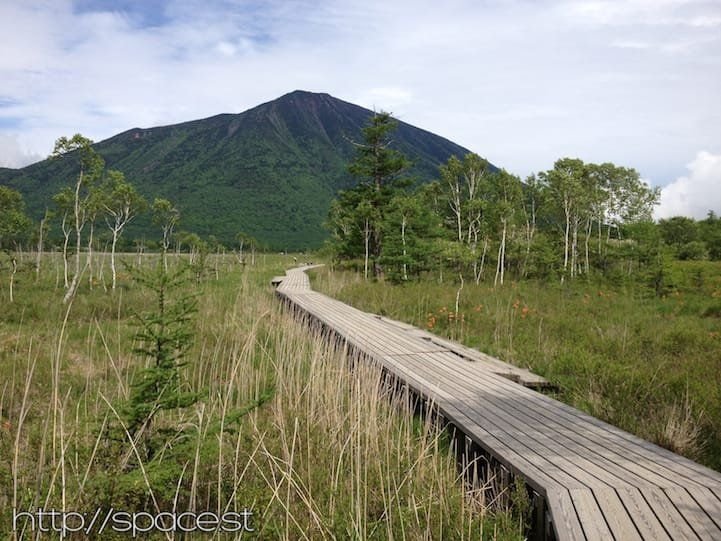
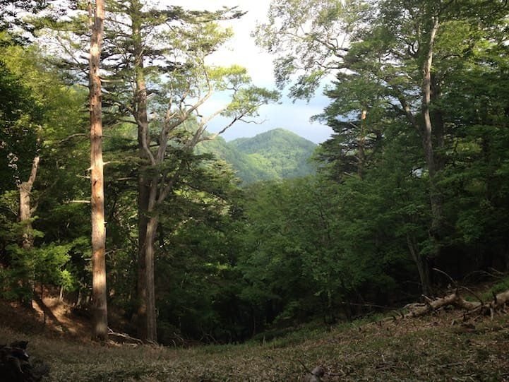
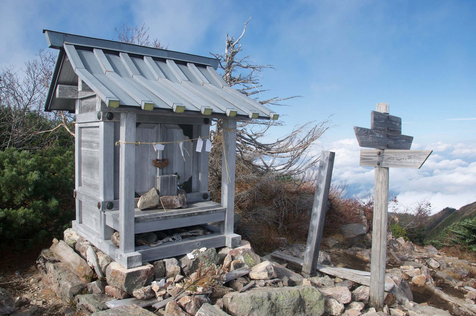
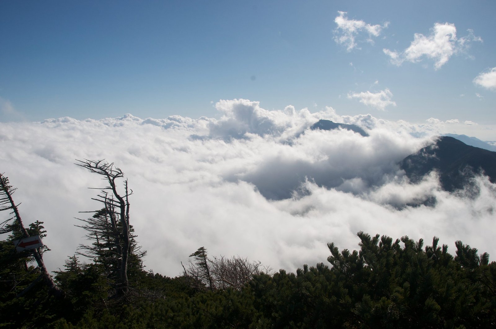
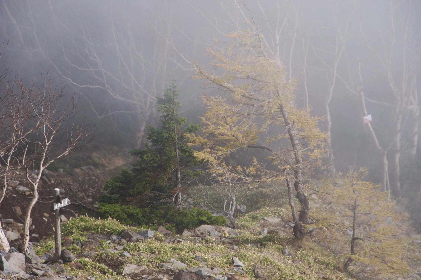
This is not a single steady climb. From the Shizu Hut area the route runs the ridge over three intermediate summits — Omanago (大真名子山, 2,376 m), Komanago (小真名子山, 2,323 m) and Taishaku (帝釈山, 2,455 m) — dropping into a col between each before the final push to Nyoho. That up-and-down is why a route that looks short on the map is a full, strenuous day. The barren upper ridge, with sky dominating every horizon and no human structures in view, creates a feeling of remoteness that is difficult to find in the Nikko area. The summit has a small shrine and sweeping views, and descending through the mist — a common afternoon experience on this mountain — is one of the most atmospheric moments on any trail in Nikko National Park.
Getting to Nyoho Mountain
The Nyoho ascent starts from the Shizu Hut area, a free mountain shelter in the Kotoku area between Nantai Mountain and Nyoho. The approach is the same as the Nantai northern route: start from Kotokuiriguchi and follow the access road in. For a full description of the trailhead, the access road, and the geography of this corner of Nikko, see our Nantai Northern Route guide, which shares this starting point.
Most hikers reach the hut area on foot: take a bus to Kotokuiriguchi and walk the access road in — about 50 minutes to the parking at waypoint B, then onward to the hut area. The road was rough for years, but it has since been improved; as of 2025 an ordinary car can reach the parking at waypoint B (around 1,514 m), so a 4WD is no longer required.
From the trailhead, the traverse to the summit is roughly 5.87 km one way with about 1,080 m of elevation gain, and the round trip climbs around 1,530 m once the cols between peaks are counted — a long but achievable single day for fit hikers, at 7–8 hours on the mountain. Driving in to waypoint B trims the access-road walk off each end. If you would rather not rush, an overnight at the Shizu Hut splits the effort comfortably.
Prefer to split it over two days? It is a relaxed way to do Nyoho, and the only way to combine it with the Nantai northern route.
- Day 1: Walk or drive in to the Shizu Hut area, settle in, and rest for an early start. The hut is a free, basic shelter shared with the Nantai northern trail.
- Day 2: Climb Nyoho from first light, summit, and return to the hut by early afternoon before heading back to Nikko and Earth Hostel Nikko Riverhouse.
This two-day plan is also how you access the northern trail of Nantai Mountain — making it possible to combine both peaks over three days for committed hikers, using Shizu Hut as the central base.
The Trail: Shizu Hut to Nyoho Summit
Begin before first light for the best conditions. The summit can cloud over quickly in the afternoon, and starting early also gives you time to cross the ridge and explore the upper section before descending.
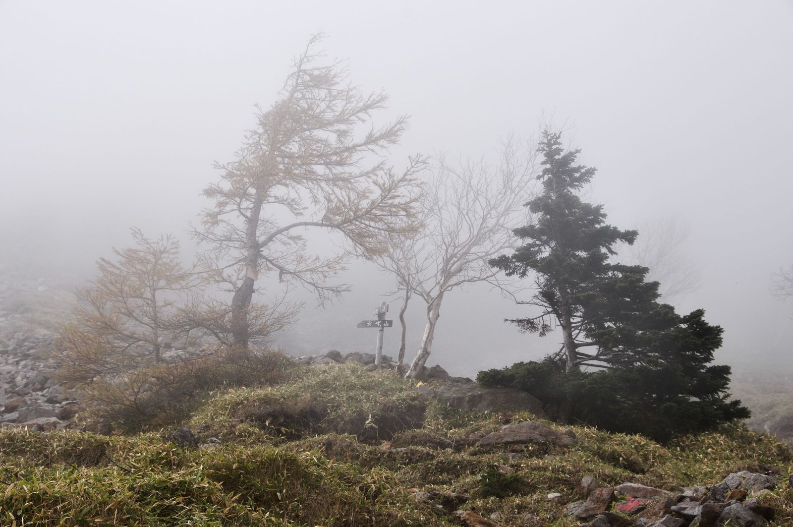
Over the first peaks (Omanago and Komanago): The trail climbs steadily through mountain forest before topping out on Omanago (大真名子山, 2,376 m), then drops into a col and climbs again to Komanago (小真名子山, 2,323 m). The path is clear and well-marked with wooden signs and occasional painted markers, but the repeated climbing and descending is real work. The forest here is quiet in a way that feels different from the busier Nantai trail; hours can pass without seeing another hiker.
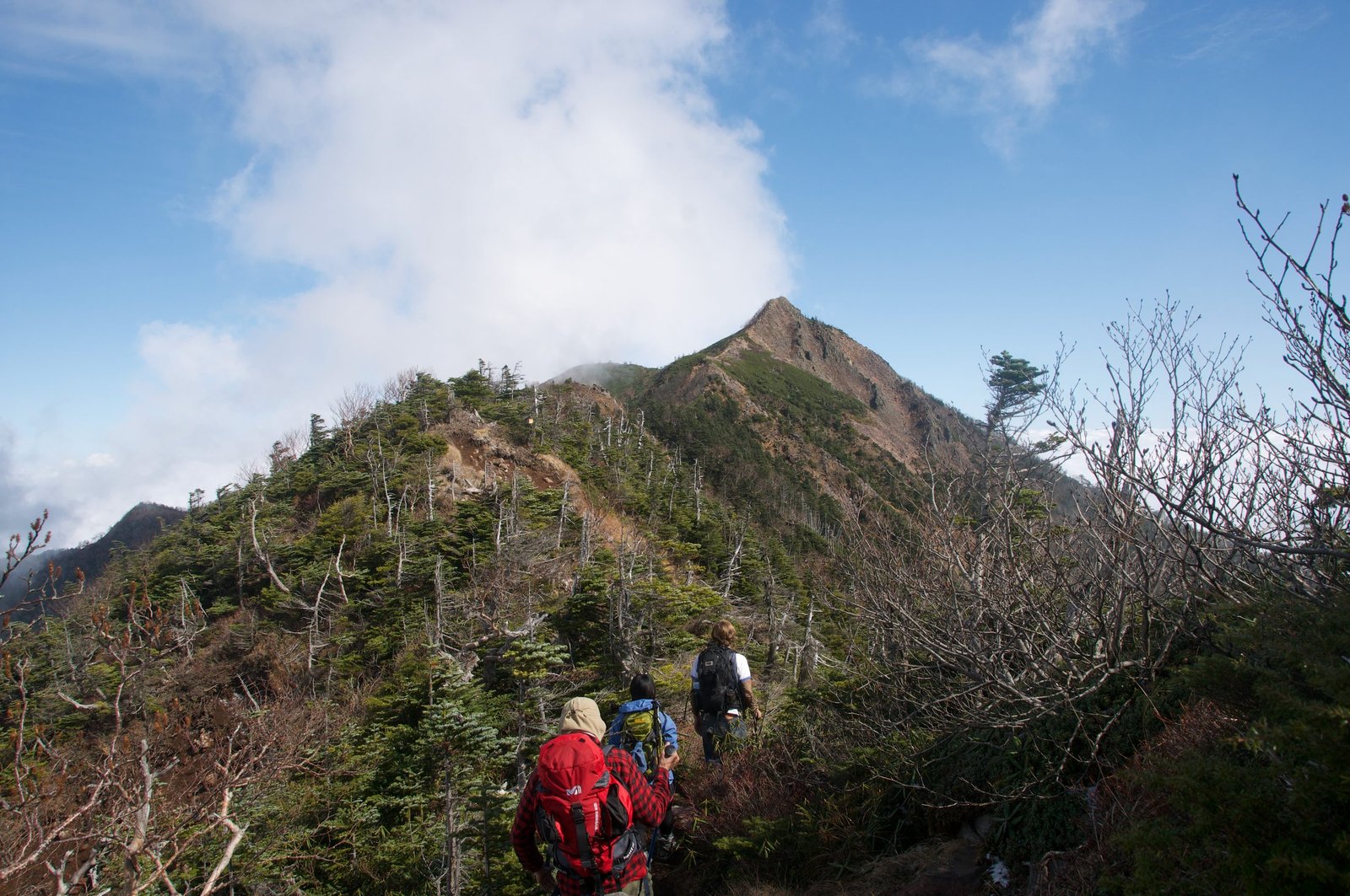
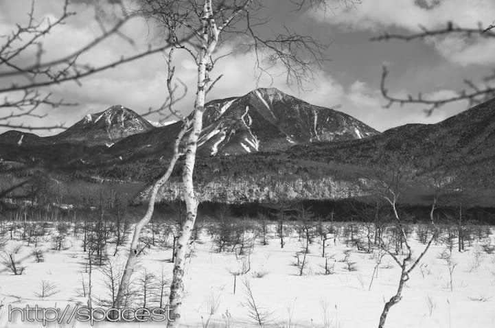
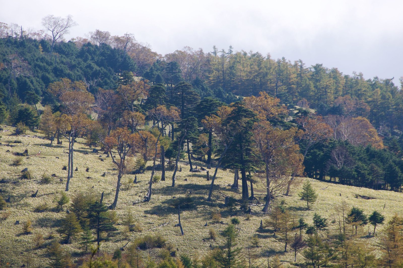
Taishaku and the open ridge: Beyond Fujimi Pass the route climbs Taishaku (帝釈山, 2,455 m), where the forest gives way to low scrub and open ridgeline. The barren upper landscape — rock, thin soil, and mountain views extending in all directions — is Nyoho’s defining environment. Most of what you see is sky and mountains. Nothing else.
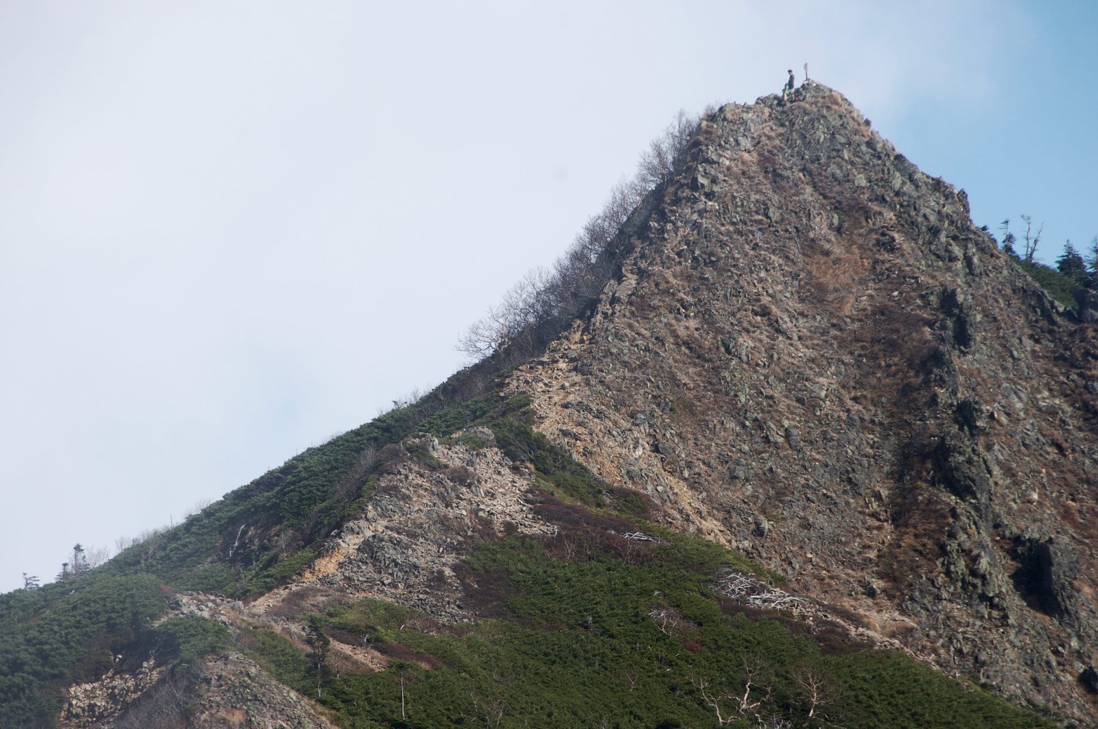
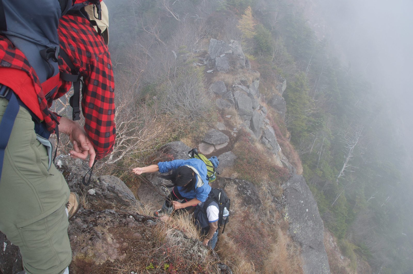
Chain-assisted section near the summit: In the final approach to the peak, a chain-assisted section requires using the fixed chain for balance and support. This is not technical climbing, but it demands care and is not suitable for hikers uncomfortable with exposed scrambling. Take your time.
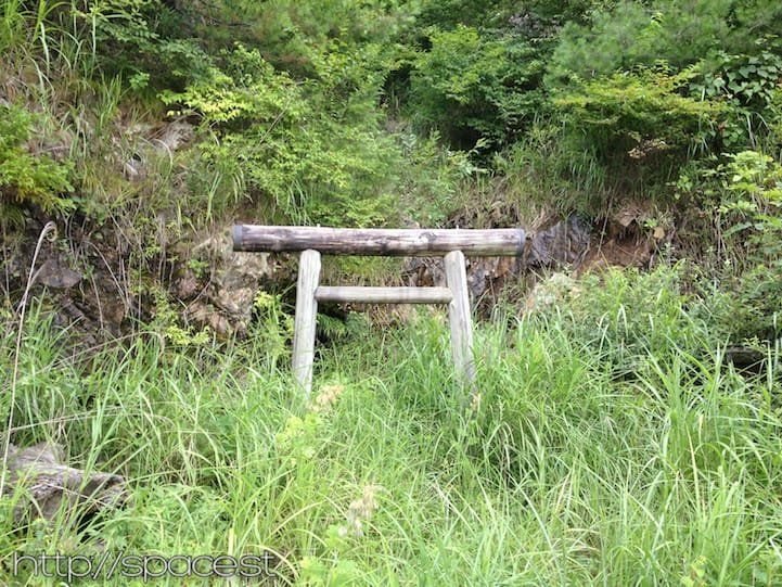
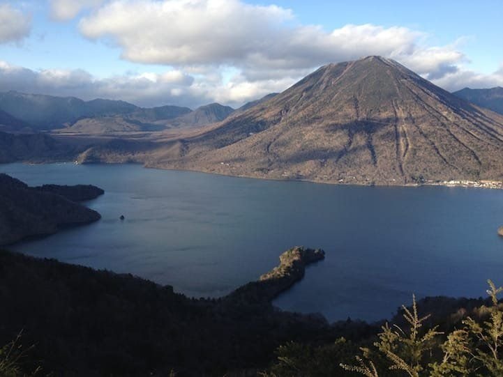
Summit (2,483 m): The peak of Nyoho has a small shrine and a summit marker. The views from here extend across the Nikko mountain range: Nantai to the southwest, Shirane to the northwest, and the broader volcanic landscape of Tochigi and Gunma prefectures spreading in every direction. On clear mornings, this is one of the quietest and most remarkable summit views in the Kanto mountains.
Descent: Return the same route, back over Taishaku, Komanago and Omanago — the traverse has to be re-climbed in reverse, which is why the round-trip gain is higher than the outbound figure. The descent through the upper ridge and into the forest is typically accompanied by building cloud and mist in the afternoon, which transforms the forest into something gothic and atmospheric. Allow plenty of time; this is a long return.
Best Season
| Season | Conditions | Notes |
|---|---|---|
| Spring | Trail opens as snow clears; cool and clear; minimal other hikers | Ideal once the access road is passable. It may still be muddy in places — check conditions before driving in. Do not attempt while the road is snowbound. |
| Summer | Warm; afternoon mist and clouds common | Start by 6 AM for the best summit conditions. Mist on descent is beautiful but reduces visibility. |
| Autumn | Cool; excellent clarity; autumn colours on the lower trail | Best season for summit views. Check the access-road condition as the first rains and snows arrive. |
| Winter | Access road closed by deep snow; conditions at Shizu Hut hazardous | Not recommended. Consult locally before any late- or early-season attempt. |
What to Bring
- Full hiking boots with ankle support (mandatory — chain section and rough terrain)
- Trekking poles — the repeated climbs and descents are hard on the knees
- Sleeping bag and camp mat (if overnighting at the Shizu Hut — a basic free shelter with no bedding)
- Food for your hike — no supplies at the hut or on the trail (pack for two days if staying overnight)
- Water: minimum 2.5 litres per person per day
- Full rain gear
- Warm layers (the summit can be 12–15°C below valley temperature)
- Headlamp with spare batteries for the pre-dawn start
- Offline maps downloaded — no signal on the mountain
- Comfortable shoes for the access-road walk in, or drive to the waypoint B parking
Plan Your Nyoho Expedition from Earth Hostel
Nyoho takes a little more planning than the average Nikko day-hike. Earth Hostel Nikko Riverhouse can advise on current access-road conditions, whether to walk in or drive to waypoint B, and sequencing if you’re combining Nyoho with other trails. We’ve been up this mountain and know its character. Stay the night before departure for an early start, and come back for a river swim and a proper rest when you return — see our rooms to book a bed.
See all hiking trails in Nikko ›