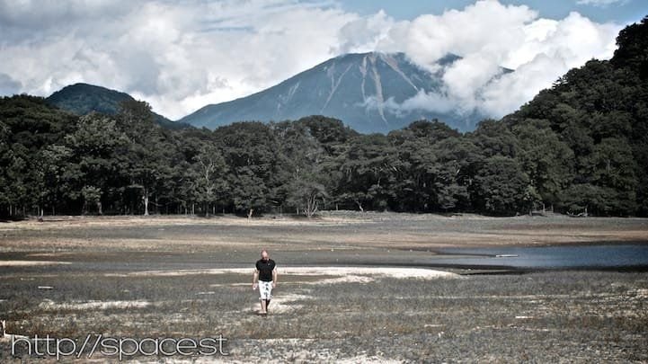
Shirane Mountain Hiking Guide — Climbing Nikko’s Highest Peak
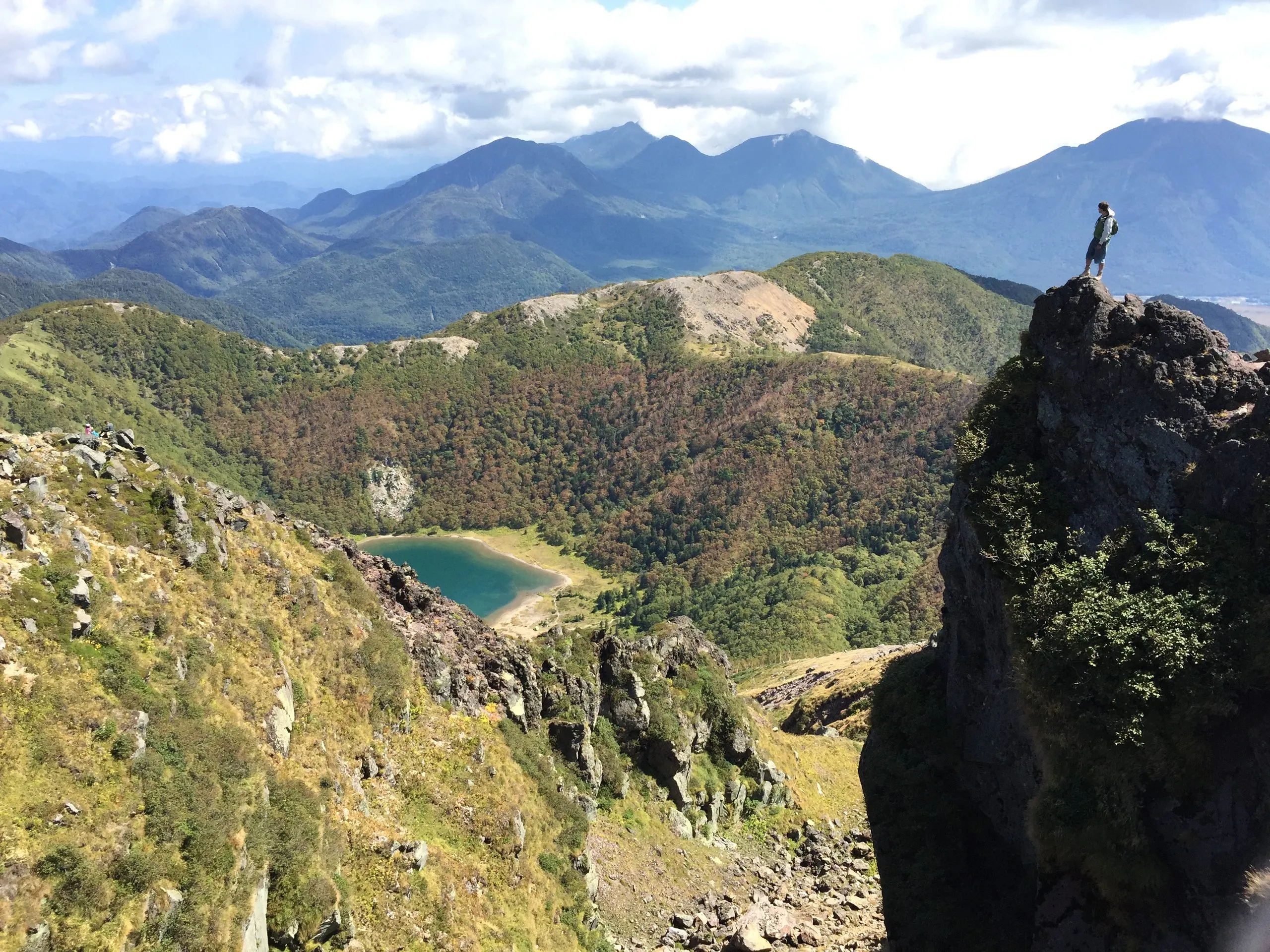
Mount Nikko-Shirane (2,578 m) is the highest mountain in Nikko and the highest peak in Japan’s northern Kanto region — a high volcanic dome ringed by alpine ponds. It’s a serious full-day climb for fit, experienced hikers, best from spring to late autumn. Base yourself at Earth Hostel Nikko Riverhouse.
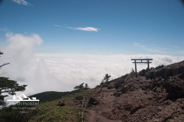
It’s a different kind of climb from Nantai or Nyoho: a summit that opens onto a sea of peaks in every direction. On a clear day you can see across to Mount Fuji, the Japan Alps, and the whole spread of the Nikko and Oze highlands. Shirane is the highest of the peaks covered in our Nikko hiking guide.
It’s a serious full-day hike for fit, experienced walkers, and there’s an important honesty up front: the trail most accessible by public transport from Nikko is in rough condition. This guide covers all the realistic ways up, what the trails are actually like right now, and how to do the climb based from Earth Hostel Nikko Riverhouse.
Trail at a Glance
| Summit | 2,578 m — the highest peak in Nikko and the Kanto region |
| Duration | ~8.5 hours (Yumoto/Yunoko side) — a full day |
| Difficulty | Strenuous — Grade III |
| Trailheads | Four: two on the Nikko (Tochigi) side, two on the Gunma side |
| Public-transport default | Lake Yu (Yunoko), reached by Tobu Bus toward Yumoto Onsen |
| Best Season | Late June – mid-October |
| National Park | Yes — Nikko National Park |
| Entry Fee | None |
| Extend it? | Optional overnight at the free Goshikinuma Hinangoya hut, by the Five-Coloured Ponds, turns the climb into a two-day trip — see below |
Base yourself at Earth Hostel Nikko Riverhouse: free morning shuttle to Nikko Station, no curfew for early starts, and the Kurokawa River outside the door for when you get back. Check availability →
Four Trailheads, Two Prefectures — Which One to Use
Nikko-Shiranesan (日光白根山, Mount Nikko-Shirane) sits on the border between Tochigi and Gunma, and it can be climbed from four directions. This matters more than for most Nikko mountains, because the easiest trailhead to reach by public transport isn’t the easiest trail to walk.
Lake Yu / Yunoko (Nikko side) — the public-transport default. This is the trailhead the Nikko bus network actually reaches: the Tobu Bus toward Yumoto Onsen stops at the Yunoko lakeshore, and the trail climbs from there. It’s the natural choice if you’re travelling without a car — but be aware of its condition (see the safety note below). This is the ~8.5-hour route.
The road-tunnel start (Nikko side) — safer, but no public bus. Higher up the same approach, the trail meets the road near a tunnel, above the worst of the washed-out lower section. Starting here makes for a safer, more straightforward climb — but there’s a catch: no public bus goes to the tunnel. The Nikko bus pass only runs as far as Yunoko/Yumoto Onsen. The only practical way to start from the tunnel is a private transfer. We can arrange this for groups — ask us when you book (see “Guided & group options” below).
Marunuma Kogen loop (Gunma side). On the far side of the mountain, a well-regarded loop runs from the Marunuma Kogen area (near the highland campground) over Mt. Zazen and Shirane — roughly 12.4 km, 7–7.5 hours, rated hard. A strong route, but it’s on the opposite side of the massif from Nikko and not practical as a day trip from the hostel without a car.
The ropeway route (Gunma side). The popular tourist approach uses a ropeway to gain most of the early elevation, making for the shortest climb to the summit. We haven’t personally hiked this one, so we won’t describe it in detail — but it’s worth knowing it exists if you’re approaching from the Gunma side and want the easiest option.
A Plain Word on Trail Conditions
The Yunoko-side trail — the one the bus reaches — is in rough shape. Much of the lower section has been washed out and is now loose and rocky, and it can be genuinely awkward and slow, especially when wet. We’re telling you this plainly because it’s the kind of thing you should plan around, not discover halfway up.
If you’re a confident, well-equipped hiker, it’s doable — wear proper boots, take trekking poles, and allow the full ~8.5 hours. If you’d rather skip the worst of it, the tunnel start avoids the washed-out lower section, and we can help groups arrange transport to it.
Anyone seriously planning Shirane should do their own up-to-date research on current conditions before setting out — trail states change, and this is a mountain where that matters.
The Climb — What You’ll See
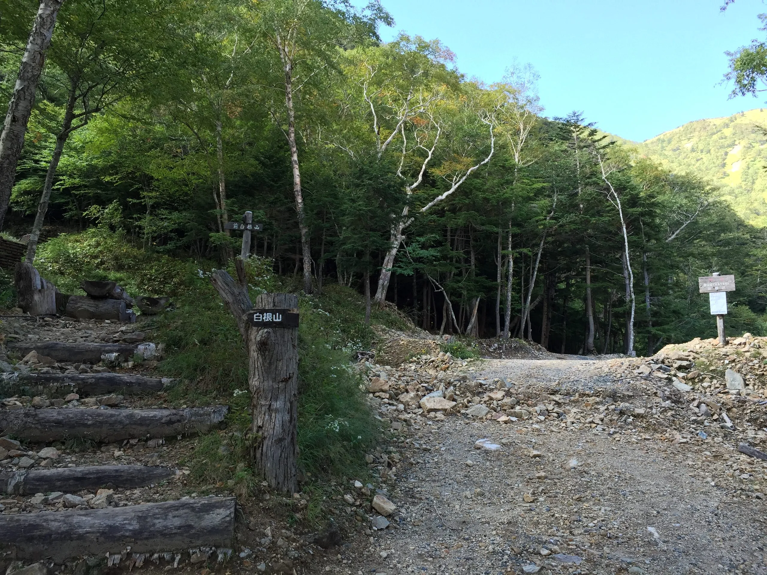
Leaving Yumoto. The trail starts unassumingly: a short way on from the Yumoto area, a set of log steps climbs off the gravel track beside a signpost, and the forest closes in. From here the route gains height steadily through birch and conifer, and this lower stretch is where the washed-out ground is worst.
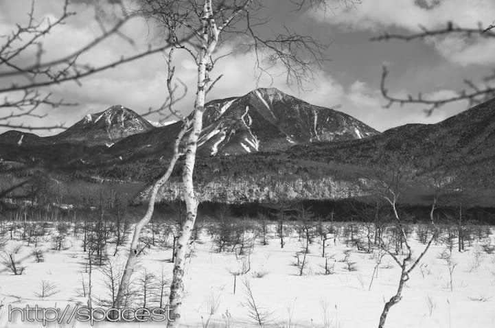
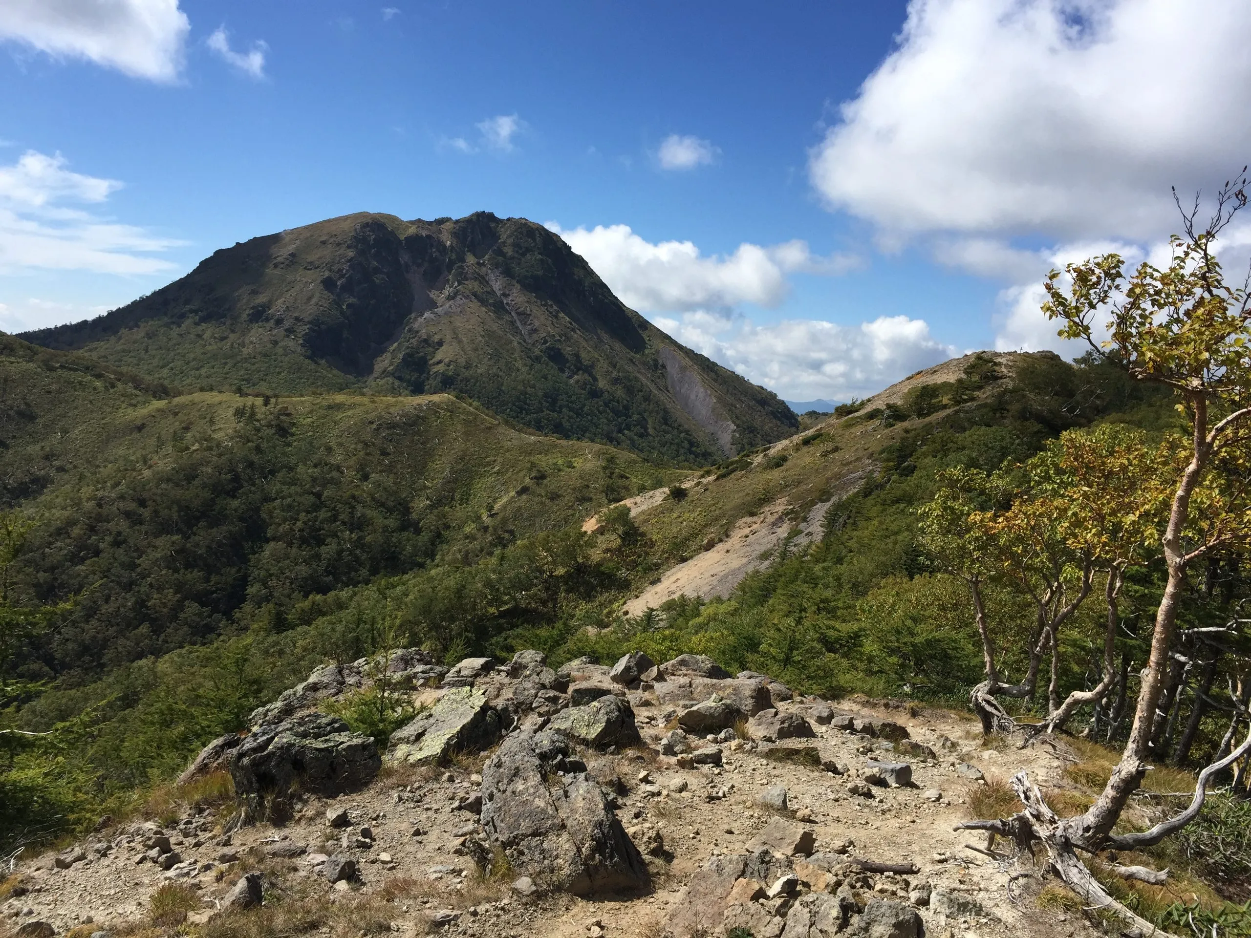
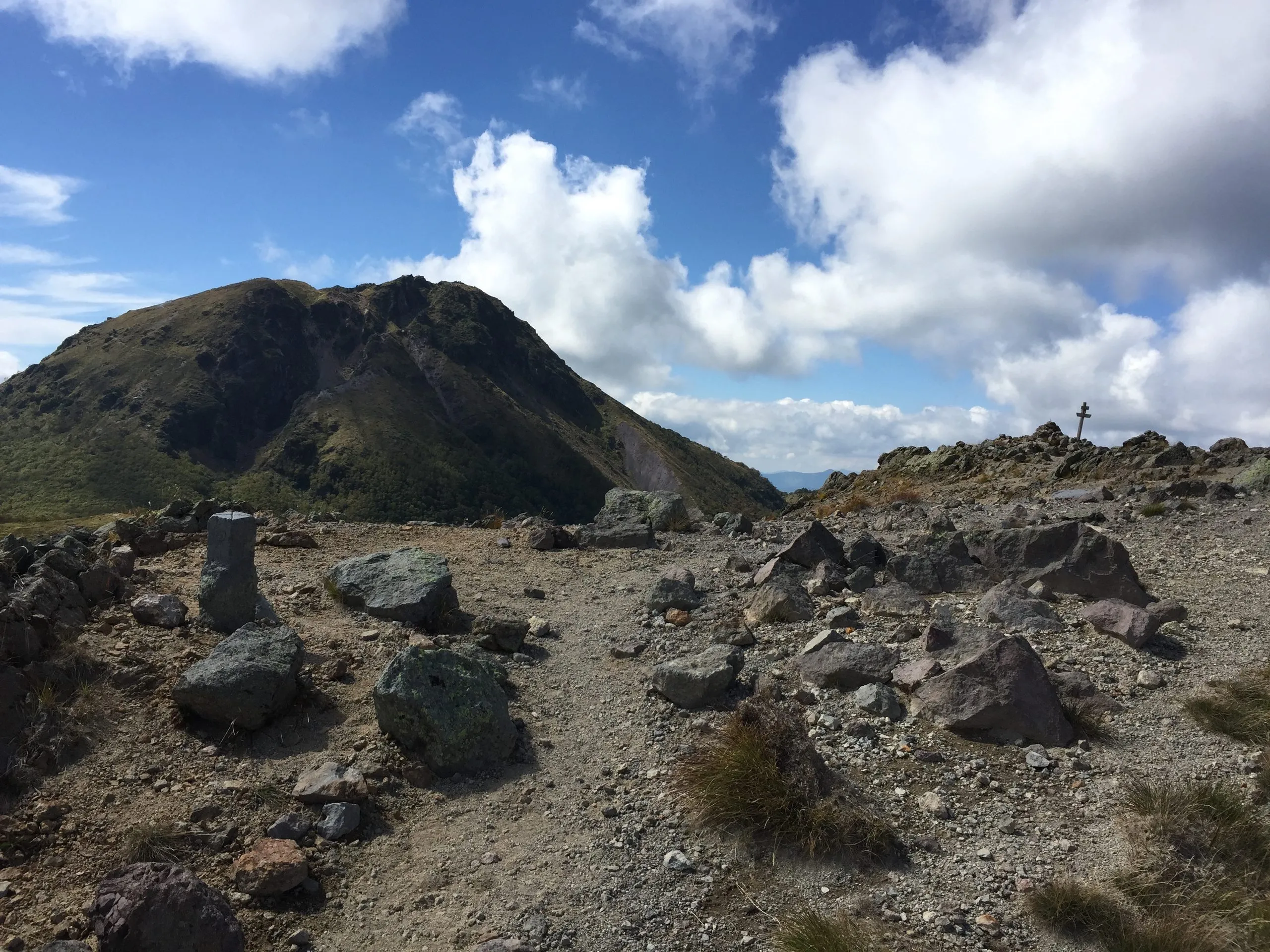
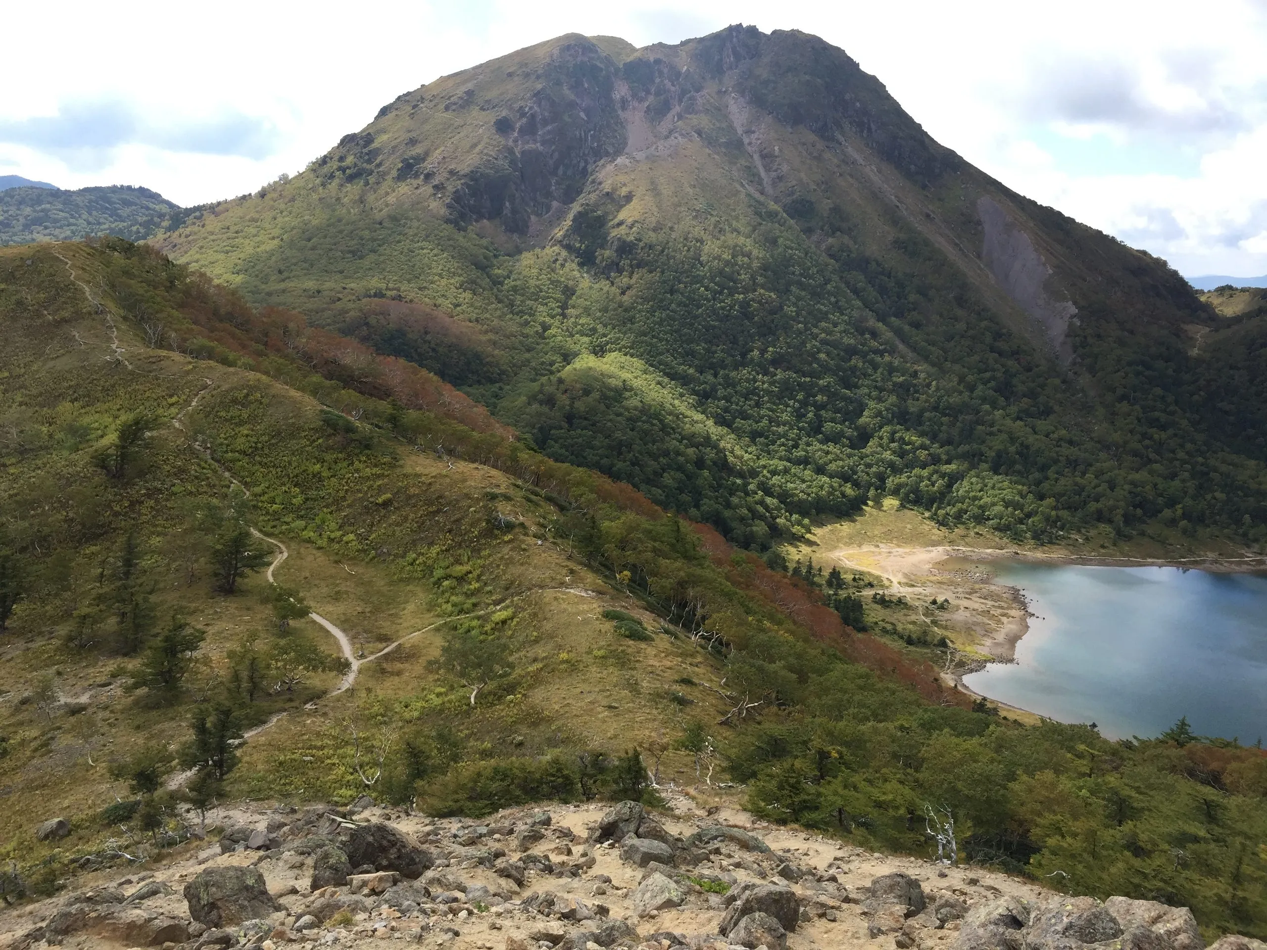
Onto the ridge. Higher up, the trees thin and the mountain reveals itself: the volcanic dome of Shirane ahead across a saddle, its flanks streaked with pale scree, the trail visible as a thread traversing the slope. It’s the first honest look at what you’ve committed to.
The volcanic summit. The final ground is bare rock and lava — a jumble of blocks, coarse gravel, and low alpine scrub, with almost no shelter. This is not a walk-up: it’s careful footing, hands occasionally out, and a real summit.
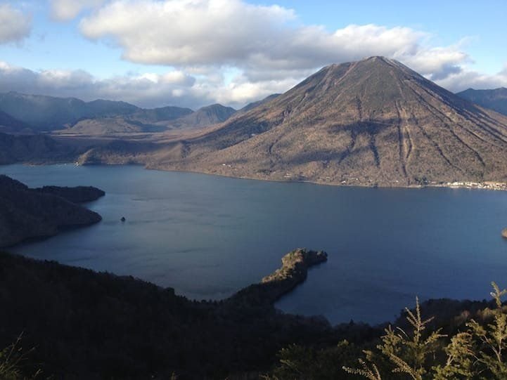
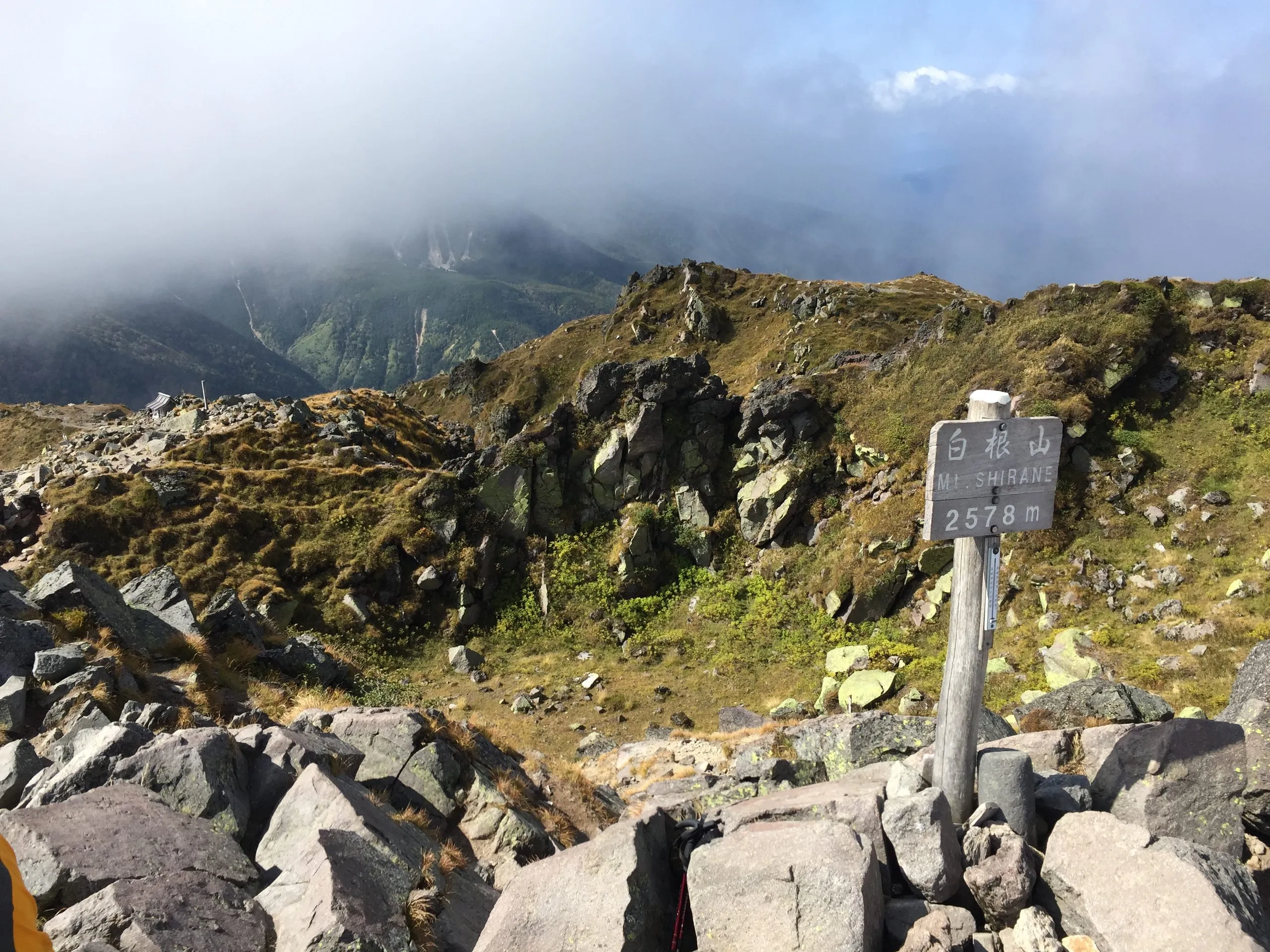
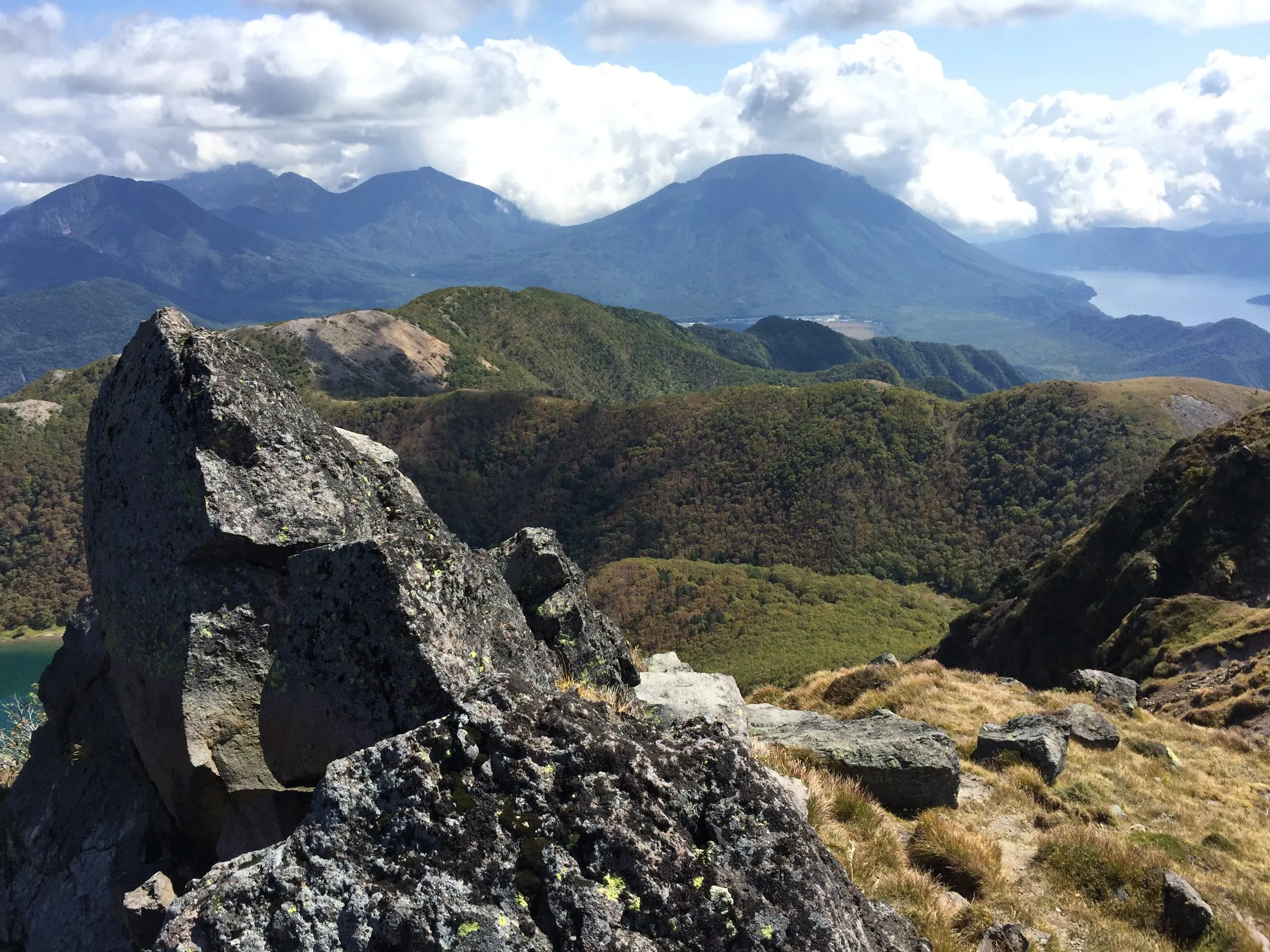
The top: 2,578 m. A plain wooden post marks it — Shiranesan (白根山), 2,578 m — often with cloud tearing past below the ridge. Stand up on the rocks and the whole Nikko massif lays out beneath you: Nantai’s cone and the blue of Lake Chuzenji to the southeast, and on a clear day, peaks running to the horizon in every direction.
Getting There from Earth Hostel
By bus (the Yunoko route, no car needed): Take the free morning shuttle from the hostel to JR/Tobu Nikko station (6–10 AM), then the Tobu Bus toward Nikko Yumoto Onsen, getting off at the Yunoko (Lake Yu) stop. An All Nikko Pass covers the route. Because there’s no curfew at the hostel, an early start and a late return after a long day are both fine — just let the team know your plans the night before, and we’ll confirm the return shuttle timing.
By car: Driving opens up the tunnel start on the Nikko side and the Gunma-side trailheads. Parking is available at the main trailheads; check current access for the Marunuma Kogen side in particular.
Guided & group options: Because the safer tunnel start has no public bus, we can arrange a private group transfer to the tunnel trailhead for guests who want to climb Shirane that way. This works best for groups — ask us about it when you book. It pairs naturally with the hostel’s group-stay model.
What to Bring
- Trekking boots — essential on the loose, washed-out, rocky terrain
- At least 2 litres of water per person, plus food for a full day
- Trekking poles — strongly recommended for the rough sections and the descent
- Rain gear and warm layers — at 2,578 m the summit is fully exposed and much colder than the valley
- Headtorch, in case a long day runs late
- Paper map (Yama-to-Kogen Chizu #13 Nikko) — phone signal is unreliable up high
- Cash for the bus, or an All Nikko Pass bought in advance
- A bag for your rubbish — pack everything out
Adding the Goshikinuma overnight? Also bring a sleeping bag and mat (the hut has no bedding), a backpacking stove and fuel, and a 35–40 litre pack. Leave the rest of your luggage at the hostel.
Make It Two Days — The Five-Coloured Ponds
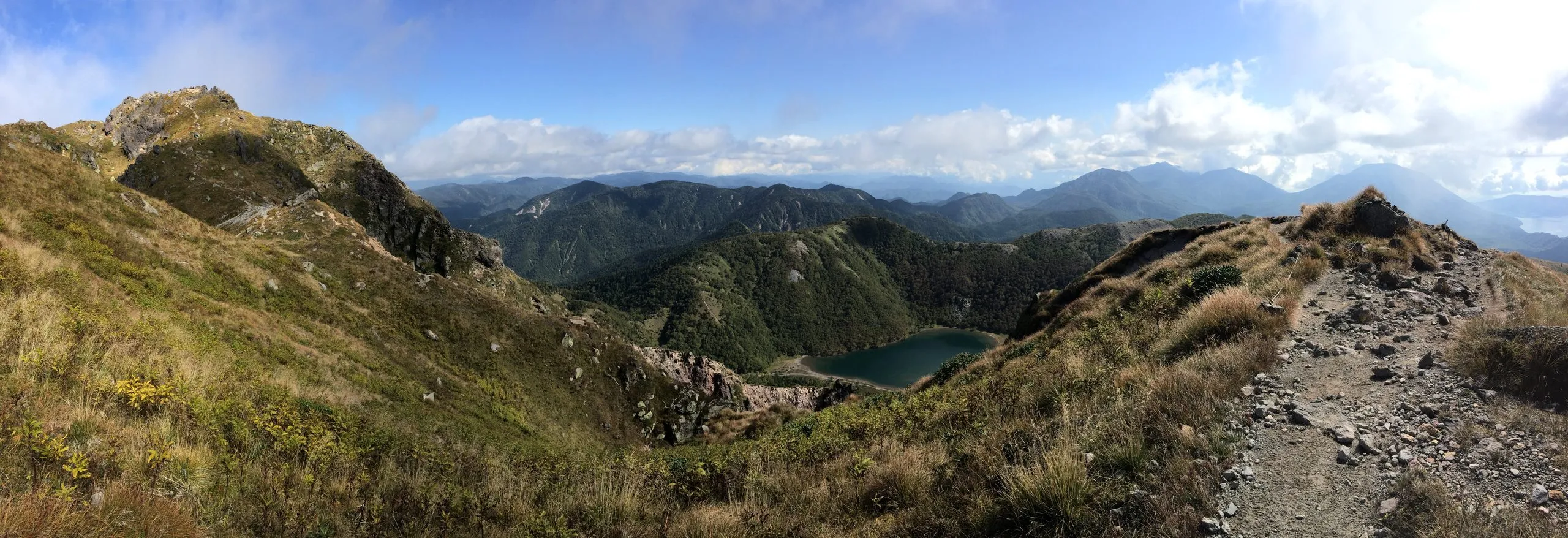
Shirane’s interior is a web of looping trails, alpine ponds, and connecting ridges between the summit, Mt. Zazen, Mt. Maeshirane, and the ponds — far more than you can take in on a single up-and-down climb. If you want to slow down and explore it properly, you can turn the hike into a two-day trip with a night at the Goshikinuma Hinangoya (五色沼避難小屋) — a free, unlocked public emergency hut beside the Five-Coloured Ponds (Goshikinuma), the famous sequence of colour-shifting alpine pools in the basin below the summit.
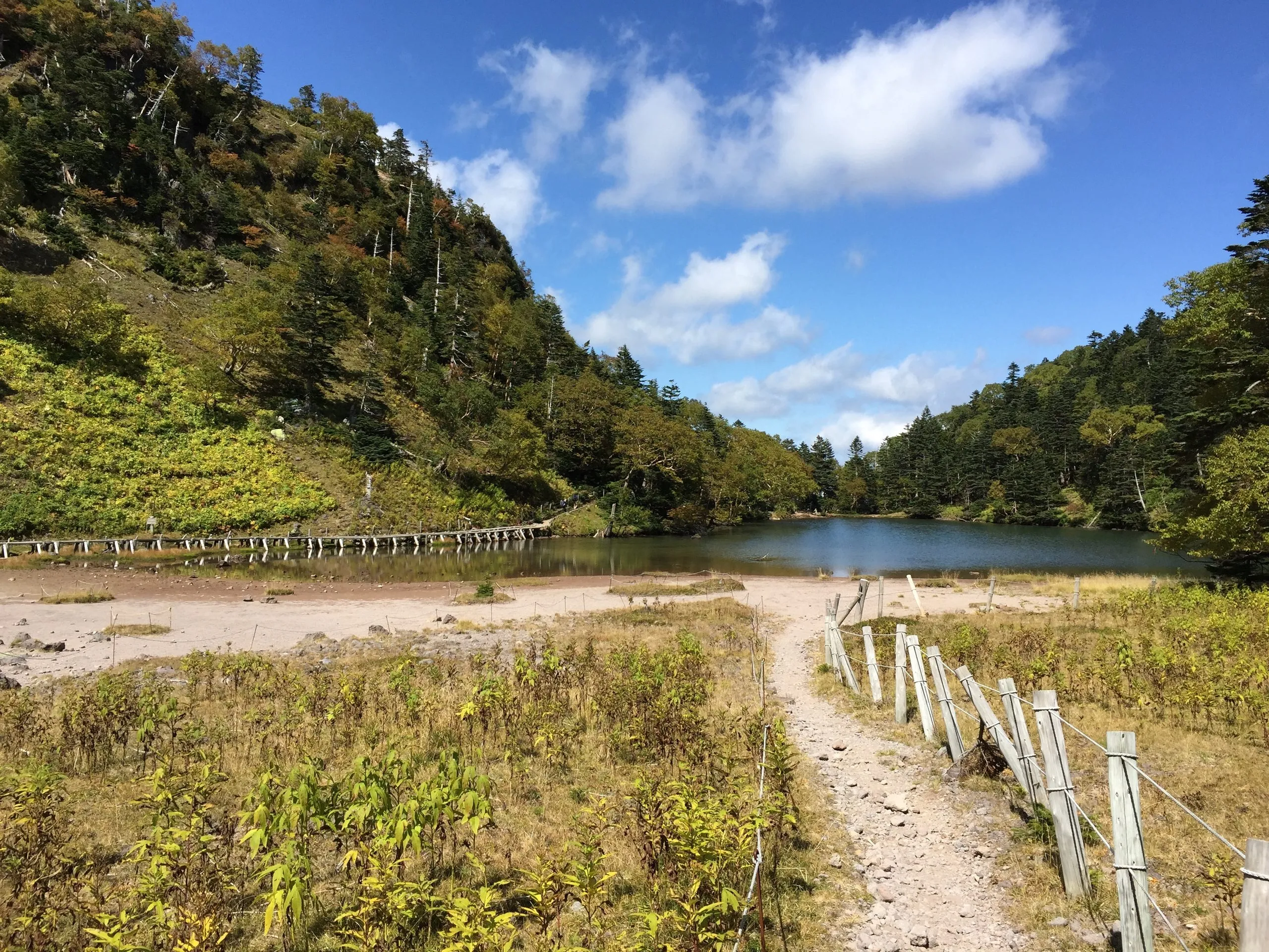
The basin holds more than one pool. Midagaike (弥陀ヶ池) sits at the foot of Mt. Zazen, north of the main crater lake — a still, shallow pond reached by boardwalk, and a natural place to stop before the last climb.
Two free, unlocked emergency huts sit on the Shirane range: Goshikinuma Hinangoya (五色沼避難小屋) beside the Five-Coloured Ponds (36.7962, 139.3849), and Nanairodaira Hinangoya (七色平避難小屋) lower on the northern approach (36.8042, 139.3669). Both are shelters, not accommodation — no bedding, no supplies, no booking. Everything you carry in, you carry out.
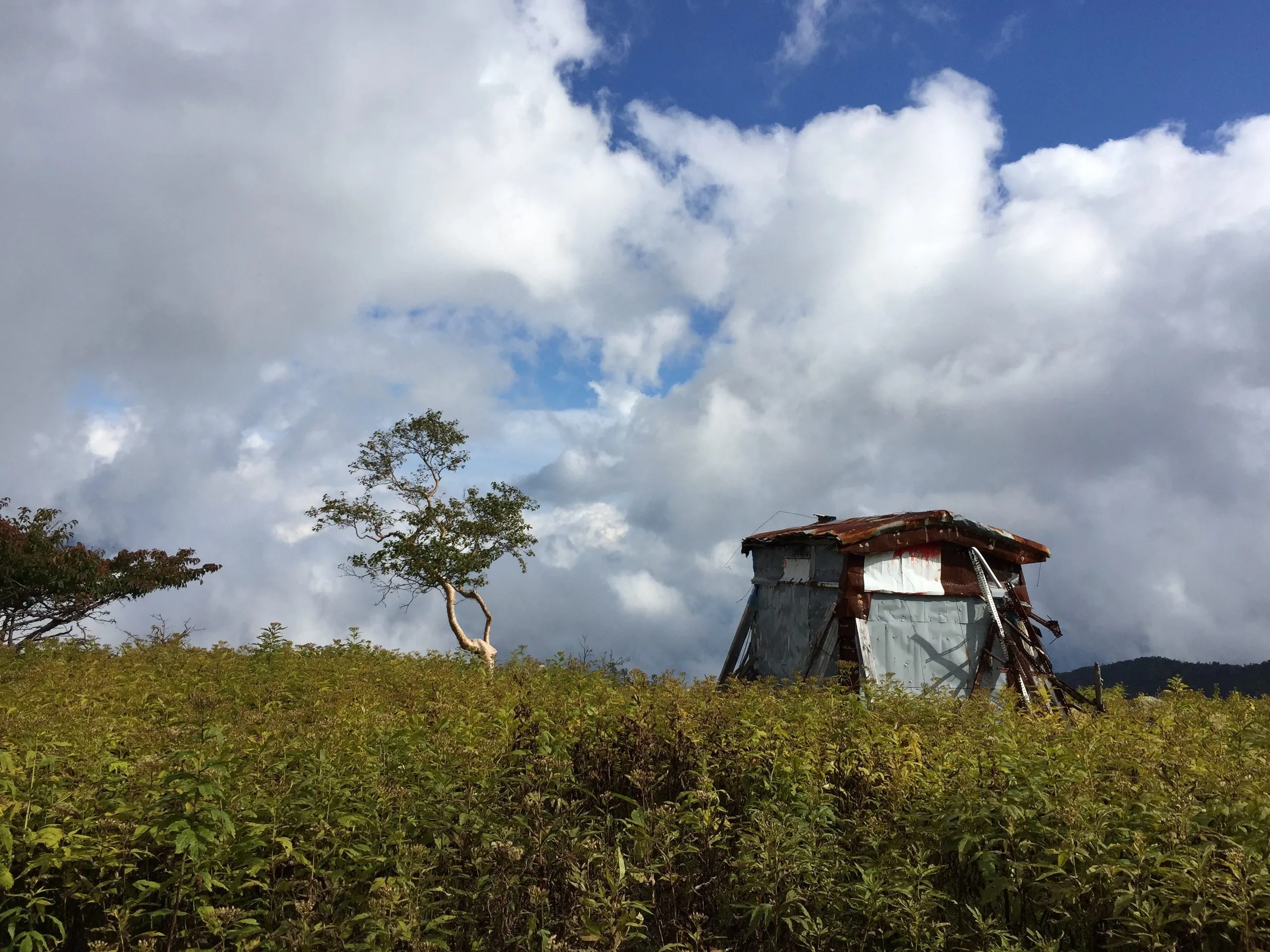
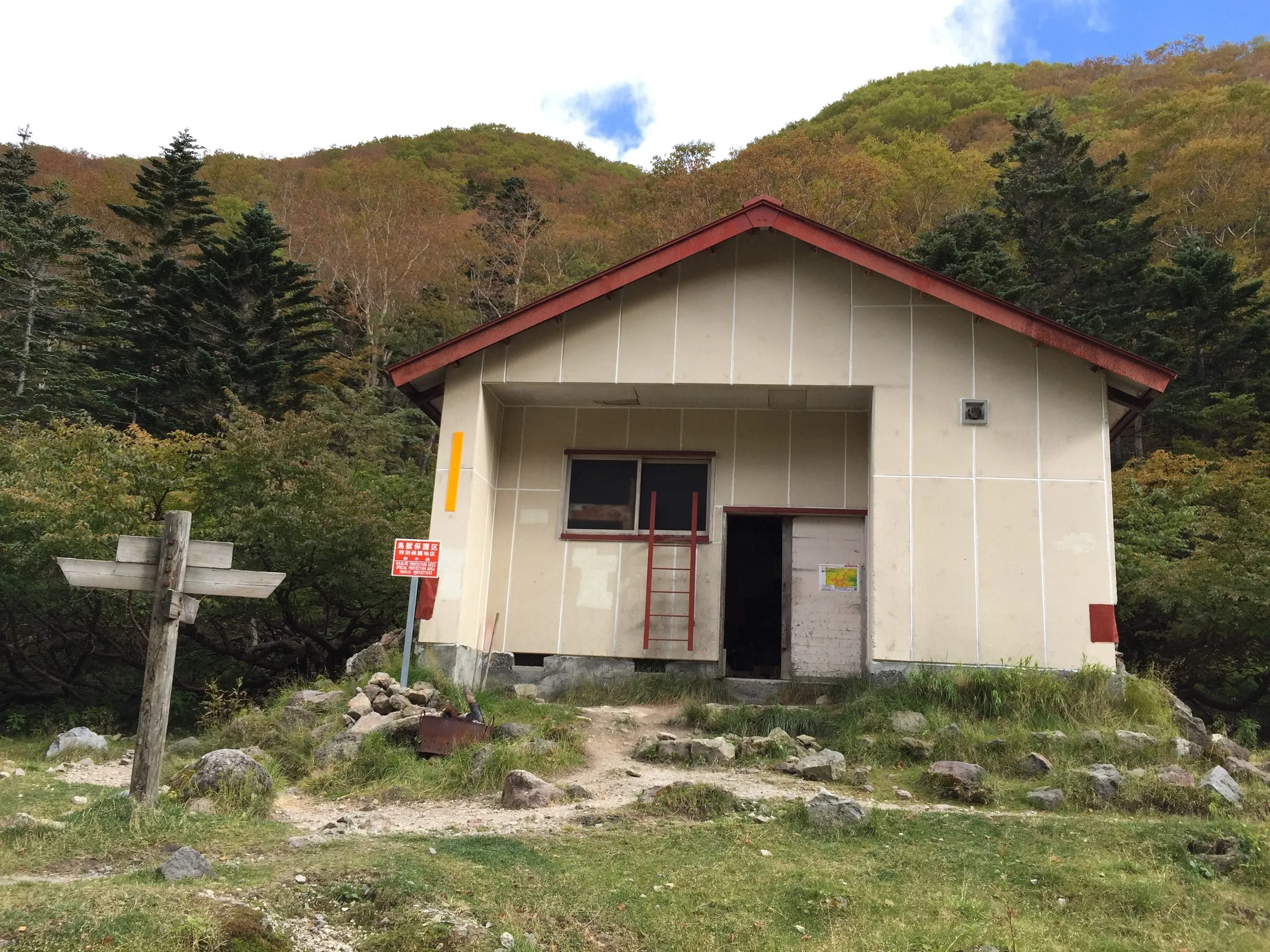
There’s no fixed itinerary worth prescribing — the joy of it is wandering the pond circuit and the surrounding peaks at your own pace, summiting when the light is best, and sleeping out in one of the quietest high basins in Nikko. As with all the free huts up here, you carry everything in, including sleeping gear, food, and a stove. The basin at night, with no light pollution, is a superb place to see the stars.
The smart way to run a two-day Shirane trip is with Earth Hostel as your basecamp on both ends — drop your spare gear with us, head up with a light overnight pack, and come back to the river, a hot shower, laundry, and a shared dinner.
Best Season and Conditions
| Season | Conditions | Notes |
|---|---|---|
| Before late June | Snow lingers at altitude | Too early; high snow makes the upper mountain dangerous |
| Late June – August | Open; cool and clear up high, hot in the valleys | Prime season; start early and watch for afternoon storms |
| September – mid-October | Best clear weather; alpine colour from late September | Peak season for views — book the hostel early |
| After mid-October | Conditions deteriorate quickly; early snow possible | Treat as out of season for all but experienced winter mountaineers |
Nearby After the Hike
The Yunoko trailhead is right beside Yumoto Onsen, Nikko’s mountain hot spring — the natural place to soak tired legs before the bus down. From there it’s the ride back to Nikko Station and the shuttle home to Earth Hostel Nikko Riverhouse, with the Kurokawa River waiting if the timing’s right.
Frequently Asked Questions
How high is Mount Shirane, and is it really the highest in Nikko? Yes — at 2,578 m, Mount Nikko-Shirane is the highest peak in Nikko and the highest in the whole Kanto region of northern Japan.
Which trailhead should I use if I’m coming by public transport? The Lake Yu (Yunoko) trailhead, reached by the Tobu Bus toward Yumoto Onsen — it’s the only one the Nikko bus network reaches. Be aware the lower trail is washed out and rough; read the trail-conditions note above before you go.
Can I start from the tunnel trailhead instead? It’s the safer start, above the washed-out section — but no public bus goes there. The practical way to use it is a private transfer, which we can arrange for groups. Ask us when you book.
Is Shirane suitable for beginners? No. It’s a Grade III full-day climb on Nikko’s highest peak, and the most accessible trail is in rough condition. It suits fit, experienced hikers; less-experienced walkers should build up on easier Nikko trails first.
What is Goshiki? Goshiki means “five colours.” It’s a cluster of volcanic ponds below the Shirane summit that shift through deep blue, jade green, grey and brown. Goshikinuma is the main crater lake; Midagaike (弥陀ヶ池) is a smaller pond to the north, at the foot of Mt. Zazen.
Do I need to book the Goshikinuma hut? No — it’s a free, unlocked public emergency shelter, only relevant if you choose to extend the climb into a two-day trip. There is a second hut on the range, Nanairodaira Hinangoya, on the lower northern approach. Neither takes reservations. Bring all your own gear, including sleeping equipment, food, and a stove.
Is there a direct trail from Goshiki down to Yumoto Onsen? There is, but do not use it. It is severely overgrown, follows a deep gully with sheer sides, and has very poor footing. Return the way you came up.
When is the best time to climb Shirane? Late June through mid-October, with September to early October offering the clearest weather and the first alpine colour. Outside that window, snow and rapidly changing conditions make it a mountaineering proposition rather than a hike.
Plan Your Climb from Earth Hostel
Earth Hostel Nikko Riverhouse is the natural base for Shirane — whether you do it in a day from the Yunoko side or stretch it across two with a night at the Five-Coloured Ponds. The free shuttle gets you to the morning Yumoto bus, there’s no curfew for early starts or late returns, and we can talk you through current trail conditions and the trailhead options when you arrive. For groups who want the safer tunnel start, ask us about arranging transport. Store spare gear with us, do your laundry on the way back, and recover in the river before the train home — we’re 20–40 minutes from most Nikko trailheads by bus from Nikko Station.
Check availability and book → · Access and transport guide →
See all hiking trails in Nikko ›
Trail conditions on Shirane change — the Yunoko-side route in particular is washed out and rough. Check current conditions with the hostel or Nikko National Park before you set out.